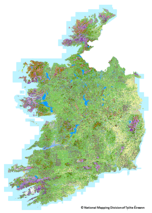
Data from a new map has provided up-to-date insights on the types of land in Ireland, and how much of the country is covered by each of them. Ordinance Survey Ireland (OSI) and the Environmental Protection Agency (EPA) started a new national land cover mapping programme in 2018. The work was completed in September 2022, while the map and associated data was published last month. The final report of the new National Land Cover (NLC) Map of Ireland said that the CORINE map is not suitable for use in detailed land assessments, due to spatial resolution of only 25ha, and its classification system, which is based on typical European land cover that is not reflective of land types in Ireland.