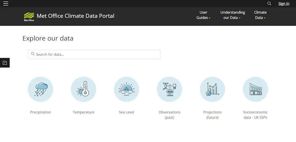
The Met Office has launched a new online portal to provide government and business organisations with improved access to climate data. The Climate Data Portal has been built using geospatial technology from Esri UK as part of their strategic partnership, and to help users combine Met Office data with their own to assess the future impact of extreme conditions on their operations. The project is part of the Hadley Centre Climate Programme and has been funded in part by the Department for Science, Innovation and Technology. The Met Office said the portal presents complex scientific projects in useable formats, ready to visualize and analyse in geographic information systems and non-spatial applications, or to integrate into business processes. Spatial analysis can be carried out at global, regional or local level.
It contains over 60 data layers along with guidance and applications, and facilitates the export of datasets in useable formats so they can be used in other tools.