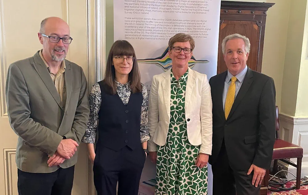
Researchers at University of Limerick have created a new digital heritage resource centred on the early years of the Ordnance Survey in Ireland.
Marking two-hundred years since the beginnings of the first Ordnance Survey of Ireland, the ‘OS200—Digitally Re-Mapping Ireland’s Ordnance Survey Heritage’ project gathered historic Ordnance Survey (OS) maps and texts, held in disparate archives, to form a freely accessible, digital resource for academics and members of the public to use.
In Ireland, between 1824 and 1842 the OS completed the first ever large-scale survey of an entire country, at a scale of six inches to the mile. Acclaimed for their accuracy, these maps are regarded by cartographers as amongst the finest ever produced.
In addition to maps, the Ordnance Survey staff, both military and civilian, recorded other information such as archaeological and toponymical material including local customs, antiquities, place names and topographical features. However, over time, these materials have been disparately housed in various museums, repositories and archives across Ireland and Britain.
UL worked with Queens University Belfast, Digital Repository of Ireland, and other key partners to create the digital archive in the Irish Research Council and Arts and Humanities Research Council co-funded project. The project was launched in the Royal Irish Academy in Dublin.