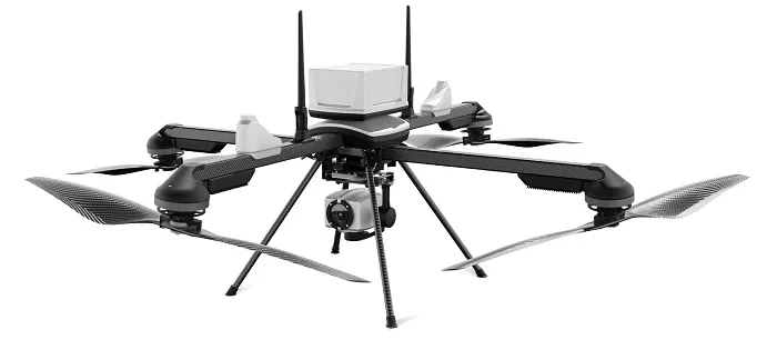
IdeaForge Announces Flyght Cloud Platform For Drone Data Analytics
ideaForge Technology Limited, a drone technology company, announced the Beta launch of its groundbreaking Flyght Cloud platform, poised to redefine the landscape of drone data analytics. This innovative platform can eliminate the complexities of multiple vendors, regulations, and inefficient workflows. Operated with a subscription-based pricing model, it provides flexibility and affordability through various workflows tailored ...
geospatialworld.net