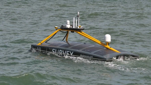
UKHO And XOCEAN Team Up For Uncrewed Seabed Survey
Marine data provider XOCEAN recently deployed five uncrewed surface vessels (USVs) near the Isles of Scilly to collect bathymetric data on behalf of the UK Hydrographic Office (UKHO). The USVs scanned the seabed, identifying features such as depth, habitats, ridges, boulders and shipwrecks. This marked the UKHO’s inaugural use of an external organization for seabed ...
hydro-international.com