Part of a series of data sets collected in the Irish Sea, off North Wales, under the Civil Hydrography Programme (CHP) has given us a fantastic insight into the geological past of the UK.
The CHP is a long-running data collection programme undertaking systematic surveys of the UK’s coastal waters. Administered by the Maritime and Coastguard Agency (MCA), experts at the UKHO provide technical oversight and data validation. This data is used to update the nation’s nautical charts and publications to ensure they remain current, safe and fit for purpose.
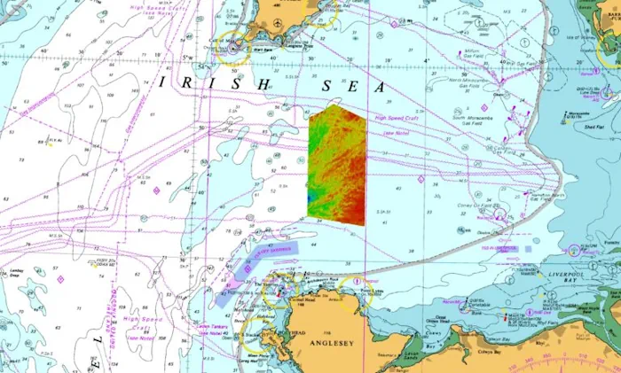
Collecting high-quality data provides information that can be used for much more than Safety of Life at Sea – as UKHO Geospatial Information Specialist Laurence Dyke discovered when analysing the data sets collected off North Wales in the Irish Sea.
Laurence and the Scientific Analysis Group at the UKHO discovered a series of remarkably well-preserved landforms left by huge glaciers during the last glaciation. Global cooling at the start of the last glaciation allowed embryonic glaciers to form over high ground across Great Britain and Ireland. As conditions cooled, glaciers continued to grow, coalescing and flowing radially outwards, away from the mountains and across the lowlands and continental shelf to form the British-Irish Ice Sheet. Around 27,000 years ago, the ice sheet covered an area of 840,00 km2 and contained enough ice to raise global sea levels by 1.8 m.
The recent hydrographic survey data collected from the seabed in the centre of the Irish Sea shows a remarkably well-preserved suite of subglacial landforms; features formed by the bed of the glacier as it flowed over sediments and bedrock in the area.
Arguably the most impressive subglacial landform in the newly surveyed area is the extensive field of drumlins. These mounds of glacial sediment can be tens of metres high and hundreds of metres long, and are generally elongated in the direction of ice flow. In profile, drumlins often have a blunt upstream or ‘stoss’ side, and a tapered downstream or ‘lee’ side. Drumlins only form beneath thick, fast-flowing ice. Their presence indicates that the Irish Sea Ice Stream was over 1000 m thick here and was flowing at speeds of several kilometres a year when these features were created.