Ever wonder where you were at an airport or transit station and needed to find your gate or a restroom? GoodMaps, based out of Louisville, Kentucky, is working on an app to use your smartphone’s features to help you find your place.
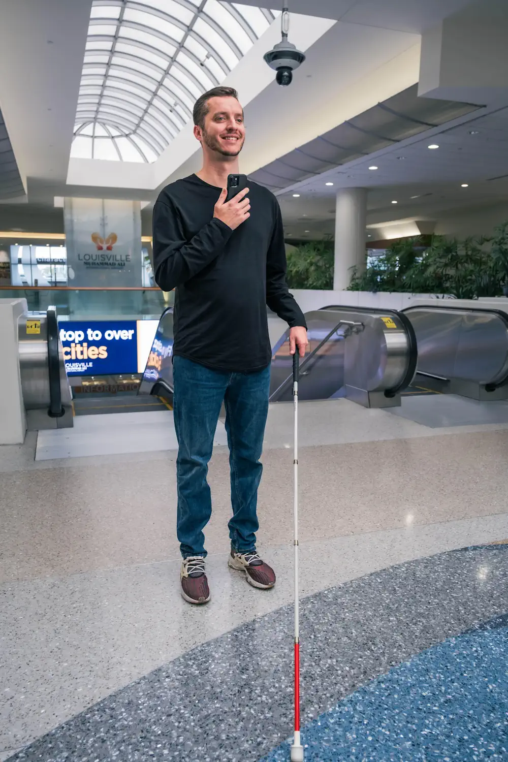
GoodMaps will come to a venue like an airport or a transit agency such as Sound Transit and map the facility with laser radar or LIDAR, creating a map of building edges using lasers. As seen below, the LIDAR mapping allows for optical place finding with a smartphone’s camera.
GoodMaps will then figure out where you are and where you are going if your smartphone has an accelerometer – not just a compass. The accelerometer lets a phone calculate your travel speed without using the global positioning system (GPS).