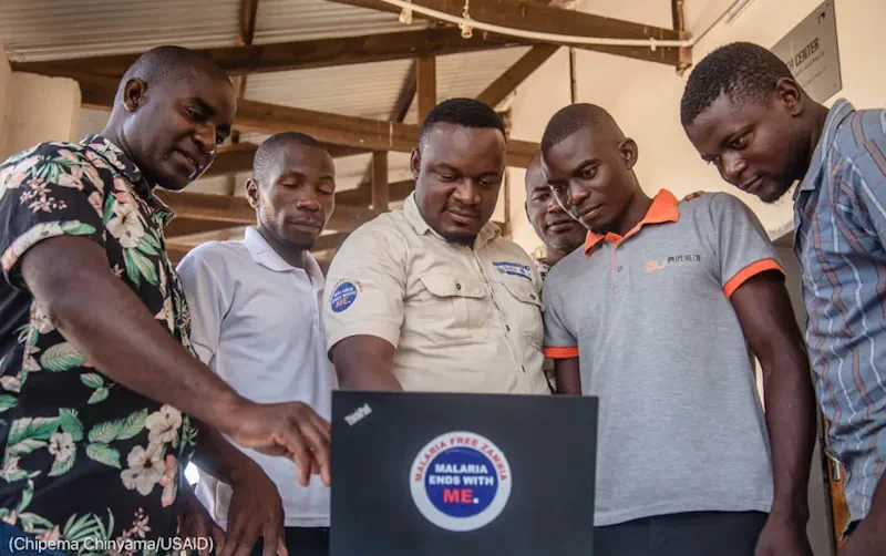
For malaria elimination officer Jerry Maambo, protecting eastern Zambia’s residents from the mosquito-borne disease starts with knowing where people live. Maambo and his team are working to curb rising malaria cases in the Katete district, where cases surged by nearly 50% in 2020 over the previous year. Malaria infects more than 200 million people annually and kills hundreds of thousands each year, mostly children under age 5. In September 2022, the U.S. government, partner nations and the private sector pledged a record $14.25 billion over the next three years to the Global Fund to Fight HIV/AIDS, Tuberculosis and Malaria. Maps made with satellite imagery are helping Katete and other districts in Zambia more efficiently plan malaria prevention efforts, such as applying insecticides to residences’ walls and ceilings, and distributing insecticide-treated bed nets. PMI’s VectorLink project worked with the government of Zambia and Akros, a local partner, to create maps that help malaria elimination teams determine which areas need immediate intervention. The PMI project and Akros used satellite images and field-verified data, captured with a geospatial data collection tool called Reveal, to estimate local populations. In all, 20 PMI-supported districts received the new Reveal maps. With the new maps, Maambo’s team could identify smaller, more remote communities that may have been missed in previous malaria elimination campaigns. “With the PMI maps, we can target the structures that are eligible for the program,” Maambo said.