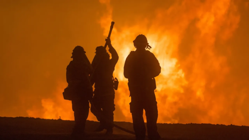
In California, extreme heat and drought conditions now occur at regular intervals, drying out grassland, pine needles and other foliage, adding to the century-old tinderbox that stokes these enormous fires. However, the state is now harnessing a powerful tool to dampen the effects of these fires, namely artificial intelligence, and specifically machine learning. The abundance of satellite imagery and geo-spatial data makes deep learning a worthy adversary to a mighty foe that is unpredictable and swift. It is still early days in AI's fight against fire, but the ability to churn through billions of images both historical and current and pick out telltale patterns that point to potential hotspots gives Californians a potent new weapon against this force of nature. From detection, to predictive analysis to preventive action to evacuation procedures, here are some ways that AI is being used in that fight. If there was a NASA of wildfire response, University of California, San Diego would be it. The California state-funded university is home to a complex network of bodies that dovetail into each other for the purpose of tracking and predicting fire outbreaks. Its eyes and ears are ALERTCalifornia, a public network of more than 1,000 high-definition, pan-tilt-zoom cameras positioned across the state and able to see up to 120 miles on a clear day. All of the live-feed data from these cameras is piped into its marquis programs -- WIFIRE -- located at USCD's Supercomputer Center, a war-room with walls made up of gigantic screens where real-time modelling and predictive analysis take place. WIFIRE is part of FIRIS (Fire Integrated Real-Time Intelligence System), a public-private partnership in California that also uses aerial infra-red platform to provide real-time information from an active wildfire to USCD's nerve center. There, machine learning tools are used to crunch all that camera information including dynamic changes in wind, moisture, terrain and other factors using its AI algorithm. It then sends back a prescriptive analysis within five minutes to frontline teams staffed by Cal Fire and the California Office of Emergency Services as well as to a publicly accessible website called Firemap.