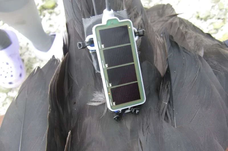
Great frigatebirds live in tropical regions and routinely fly to 2,000 meters (1.25 miles) in altitude, occasionally reaching heights of 4,000 meters (2.5 miles). A new study shows that great frigatebirds equipped with tiny sensors can give detailed information about the planetary boundary layer (PBL), which is the dynamic atmospheric layer that is closest to Earth and where we experience weather, air quality, and climate impacts.
The new research was presented at the AGU Annual Meeting on Wednesday, 13 December in San Francisco and online. The PBL connects the atmosphere with the surface ocean, land and ice. It rises and falls throughout the day and “many weather and climate processes are related to that fluctuation,” said Ian Brosnan, a marine scientist at NASA’s Ames Research Center who led the work. “So understanding PBL dynamics is fundamental to answering a lot of questions about the Earth system.“
To check if the birds’ flight patterns matched PBL altitudes, they compared PBL measurements from 2006–2019 analysis to frigatebirds’ flights. They found that the long-term average PBL heights in that area very closely matched the bird’s altitude data.