Geomaticians

Vietnam

La France Soutient La Construction Du Système D’information Géographique Au Vietnam

La France Soutient La Construction Du Système D’information Géographique Au Vietnam

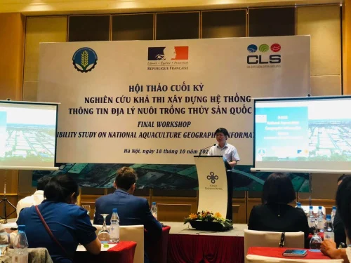
Le ministère de l’Agriculture et du Développement rural, en collaboration avec l’ambassade de France au Vietnam et le groupe Collecte Localisation Satellites (CLS), a organisé mardi 18 octobre à Hanoï, un séminaire final sur l’étude de faisabilité du système national d’information géographique en aquaculture (NAGIS) au Vietnam.
lecourrier.vn

Using Sentinel-2 Data For Seawater Quality Monitoring

In an article published in the journal Remote Sensing, the researchers used Sentinel-2/Multispectral Instrument (MSI) imagery data to a calibrated ocean chlorophyll 2-band (OC-2) model to retrieve chlorophyll-a (chl-a) concentration in the Ha Long bay from 2019 to 2021. Using Sentinel-2 MSI photos on the Google Earth Engine (GEE) platform, this study examines the anthropogenic ...
azooptics.com

대구대 이성화 교수, 한국지적학회 공동 국제학술세미나 개최

대구대학교 부동산·지적학과 이성화 교수가 학회장을 맡은 한국지적학회가 28일부터 다음달 1일까지 베트남 하노이국립대 자연과학대학교 및 한국국토정보공사(LX) 공간정보연구원과 공동으로 국제학술세미나를 개최한다. 이번 세미나는 ‘한-베 지속 가능한 토지관리 및 지리공간정보 기술협력’이라는 주제로 한국과 베트남의 지적제도와 공간정보산업 발전에 대한 상호 이해와 발전 방안을 논의하는 장으로 마련된다.
daily.hankooki.com