Geomaticians

South Carolina

Geospatial Mapping To Help Identify Threats To South Carolina Farmland

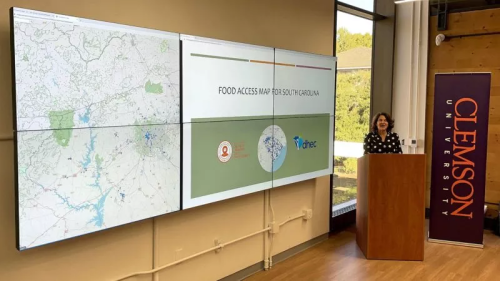
American Farmland Trust, in partnership with several South Carolina governmental and advocacy groups, is launching a tool that does precisely this to preserve vital farmland at risk of development. Palmetto 2040: Visioning Alternative Futures, Launching Solutions is a geospatial modeling and policy analysis tool designed to identify and model future outcomes, areas at highest risk ...
New Interactive Online Map Shows Needy People Where They Can Get Reliable Food And Resource

New Interactive Online Map Shows Needy People Where They Can Get Reliable Food And Resources

As many as half a million people face hunger and food insecurity in South Carolina. Now a new tool from Clemson University and the S.C. Department of Health and Environmental Control aims to direct resources to address the problem within local communities. The Food Access Map can direct people to food pantries, community organizations and ...
greenvillejournal.com