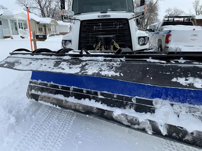
Hastings Introduces Online Snowplow Tracking System
To keep the public up to date on snow removal efforts, the City of Hastings is launching an online snowplow tracking system. The tracking system gives the almost-real time location of city snow-removal vehicles, and identifies with a color coded system where snow-removal vehicles have been. Two years ago, the city implemented AVL (Automatic Vehicle ...
central.newschannelnebraska.com