Geomaticians

USA

New Map Reveals Red Zones For Pedestrian Safety Risks

New Map Reveals Red Zones For Pedestrian Safety Risks

“Speed kills” is such a well-known mantra in transportation advocacy circles it’s at risk of becoming trite. So how can activists find new ways to communicate the crucial linkage between speeding drivers and the fatal crashes they cause? One answer to that question comes from a project by Portland Community College Student Jake Veto. Veto ...
bikeportland.org

CARTO Introduces AI Agents To Expand Access To Spatial Analytics

CARTO, the cloud-native spatial analysis platform, today announced the launch of CARTO AI Agents in private preview, the industry-leading AI tool that combines geospatial technology with AI. AI Agents enable decision-makers to address vital spatial questions quickly, democratizing access to spatial analytics and driving improved decision-making. The introduction of AI Agents aligns with the release ...
datanami.com
Felt Upgrades GIS Platform

Felt Upgrades GIS Platform

Felt has introduced Felt 3.0, which includes new features and native database integrations to improve Geographic Information Systems (GIS) capabilities. The goal of Felt 3.0 is to make data more accessible and actionable for stakeholders. It provides modern GIS tools for teams to visualize, analyze and present important insights and map data relevant to their ...
gpsworld.com
Google Maps Patent Hints At A Multi-car Navigation Feature, Enabling Easier Group Travel

Google Maps Patent Hints At A Multi-car Navigation Feature, Enabling Easier Group Travel

Google Maps is one of the most widely used navigation apps in the world, with 60 million active users in India alone as of 2023, according to Miriam Daniel, Vice President and Head of Google Maps. The web mapping platform introduces new features and improvements to existing ones on a regular basis, helping solo travellers ...
gadgets360.com
New Map Shows The Highest Heat Risk Isn’t Always Where Temperatures Are Hottest

New Map Shows The Highest Heat Risk Isn’t Always Where Temperatures Are Hottest

An interactive map created by the Centers for Disease Control and Prevention rates each ZIP code in the mainland U.S. to identify areas “most likely to experience negative health outcomes from heat.” But CDC’s Heat and Health Index shows that heat risk is about much more than temperatures. Heat vulnerability varies sharply within cities and ...
scientificamerican.com

Hydrosat Announces The Launch Of First High-Res Thermal Imagery Commercial Satellite

Hydrosat, the climate tech company leveraging thermal imagery to measure water stress in agriculture and mitigate the effects of climate change, announced the upcoming launch of its first satellite, VanZyl-1, scheduled for early July on SpaceX’s Transporter-11. This satellite will showcase Hydrosat’s proprietary, first-of-its-kind custom imagers, to accelerate the delivery of global high-resolution thermal imaging ...
geospatialworld.net
Scientists Analyze Record Storm Surges To Help Predict Future Flooding

Scientists Analyze Record Storm Surges To Help Predict Future Flooding

Researchers at the University of Southampton have conducted the most detailed spatial analysis to date of storm surges along the coast of the UK and Ireland. The oceanographers found that coastlines in the north of the Irish Sea experience the longest and largest surges, while those occurring around the southwest coast of England have the ...
eurekalert.org
Interactive Map Shows Future Climate Of Your City Based On Emissions Scenarios

Interactive Map Shows Future Climate Of Your City Based On Emissions Scenarios

The impacts of climate change are being felt all over the world, but how will it impact how your hometown feels? An interactive web application from the University of Maryland Center for Environmental Science allows users to search 40,581 places and 5,323 metro areas around the globe to match the expected future climate in each ...
phys.org
AI Shows How Field Crops Develop

AI Shows How Field Crops Develop

Researchers at the University of Bonn have developed software that can simulate the growth of field crops. To do this, they fed thousands of photos from field experiments into a learning algorithm. This enabled the algorithm to learn how to visualize the future development of cultivated plants based on a single initial image. Using the ...
eurekalert.org
New Way To Spot Beetle-Killed Spruce Can Help Forest, Wildfire Managers

New Way To Spot Beetle-Killed Spruce Can Help Forest, Wildfire Managers

A new machine-learning system developed at the University of Alaska Fairbanks can automatically produce detailed maps from satellite data to show locations of likely beetle-killed spruce trees in Alaska, even in forests of low and moderate infestation where identification is otherwise difficult. The automated process can help forestry and wildfire managers in their decisions. That’s ...
phys.org
When In Drought Researchers Map Which Parts Of The Amazon Are Most Vulnerable To Climate Change

When In Drought: Researchers Map Which Parts Of The Amazon Are Most Vulnerable To Climate Change

In the late 2000s, Scott Saleska observed an unusual phenomenon in the Amazon rainforest. A severe drought in 2005 led to increased green growth in vast areas of the Amazon, contrary to field researchers’ observations of browning plants and some dying due to the drought. Recent research published in Nature by Shuli Chen, a doctoral ...
phys.org
Albedo Takes Earth Observation Up Close And Personal From Very Low Earth Orbit

Albedo Takes Earth Observation Up Close And Personal From Very Low Earth Orbit

Satellite imagery startup Albedo is preparing for its up-close-and-personal debut. Albedo’s first satellite will take to orbit next spring as the company looks to turn the commercial Earth observation industry upside down with its novel approach and ultra-high-resolution cameras. The satellite, called Clarity, will hitch a ride to very low Earth orbit (VLEO) on SpaceX’s ...
techcrunch.com
Study Reveals Stable Soil Moisture Variability Within Fields, Opens Door For Satellite Remote Sensing

Study Reveals Stable Soil Moisture Variability Within Fields, Opens Door For Satellite Remote Sensing

A multi-institutional study led by University of Illinois and Agroecosystem Sustainability Center (ASC) scientists concluded that, although soil moisture varies significantly both within a single field and from field to field due to varying soil properties and different management practices, soil moisture distribution relative to the field average remains consistent across time within each field. ...
phys.org
NASA-Led Mission To Map Air Pollution Over Both U.S. Coasts

NASA-Led Mission To Map Air Pollution Over Both U.S. Coasts

This summer between June 17 and July 2, NASA will fly aircraft over Baltimore, Philadelphia, parts of Virginia, and California to collect data on air pollutants and greenhouse gas emissions. The campaign supports the NASA Student Airborne Research Program for undergraduate interns. The East Coast flights will take place from June 17-26. Researchers and students ...
nasa.gov
New GIS Tool Offers Maps Of Safest Bike Routes, City Capital Improvement Projects, More In Menlo Park

New GIS Tool Offers Maps Of Safest Bike Routes, City Capital Improvement Projects, More In Menlo Park

Have you ever wondered who provides your sewer services, when your street is scheduled to be swept, what average daily traffic volumes are on streets near you or when the sidewalk in front of your house was last replaced? Menlo Park residents can now find the answer to these questions and more on Menlo Park’s ...
almanacnews.com
Using Drones Will Advance The Inspection Of Remote Runways In Canada And Beyond, Research Suggests

Using Drones Will Advance The Inspection Of Remote Runways In Canada And Beyond, Research Suggests

With weather, limited flights and long distances, gravel runways at remote airports—particularly in northern Canada—are difficult to get to, let alone to inspect for safety. So Northeastern University researcher Michal Aibin and his team have developed a more thorough, safer and faster way to inspect such runways using drones, computer vision and artificial intelligence. The ...
techxplore.com
School Of Geosciences Professor Leads Permafrost Thaw Study

School Of Geosciences Professor Leads Permafrost Thaw Study

A research initiative, funded by NASA and the Army Corps of Engineers, is underway to study permafrost thaw in Alaska and its significant impacts on the environment. This project aims to understand the landforms created by thawing permafrost, how it affects methane emissions and whether the rate of permafrost thaw is accelerating. Leading this research ...
usf.edu
Researchers Leverage Shadows To Model 3D Scenes, Including Objects Blocked From View

Researchers Leverage Shadows To Model 3D Scenes, Including Objects Blocked From View

Imagine driving through a tunnel in an autonomous vehicle, but unbeknownst to you, a crash has stopped traffic up ahead. Normally, you’d need to rely on the car in front of you to know you should start braking. But what if your vehicle could see around the car ahead and apply the brakes even sooner? ...
news.mit.edu
Remote Sensing Characterization Of Post-Fire Vegetation Recovery

Remote Sensing Characterization Of Post-Fire Vegetation Recovery

Remote sensing is a powerful tool to measure fire’s effects on plant life. How severe was the damage to vegetation? How quickly can a landscape recover? A new project is looking at those questions from a before, during, and after fire perspective, and the Wildland Fire Team at EROS investigates how using different remote sensing ...
usgs.gov
Shape And Depth Of Ocean Floor Profoundly Influence How Carbon Is Stored There

Shape And Depth Of Ocean Floor Profoundly Influence How Carbon Is Stored There

The movement of carbon between the atmosphere, oceans and continents — the carbon cycle — is a fundamental process that regulates Earth’s climate. Some factors, like volcanic eruptions or human activity, emit carbon dioxide into the atmosphere. Others, such as forests and oceans, absorb that CO2. In a well-regulated system, the right amount of CO2 ...
newsroom.ucla.edu
New NASA Mission To Map Earth’s Surface In 3D Moves One Step Closer

New NASA Mission To Map Earth’s Surface In 3D Moves One Step Closer

The Earth Dynamics Geodetic Explorer (EDGE)—a newly proposed NASA satellite mission to monitor the three-dimensional structure of global vegetation and ice—is one of four finalists selected for NASA’s next generation of Earth-observing satellites under the Earth System Explorers Program. The project, which includes Northern Arizona University assistant research professor Chris Hakkenberg as co-investigator and biodiversity ...
news.nau.edu
A New Google Maps Layer Shows Public Restrooms In NYC

A New Google Maps Layer Shows Public Restrooms In NYC

There’s no elegant way to say this: going to the bathroom in New York is a nightmare. Public restrooms in the city are hard to find and are often either out of order or require you to buy something at a store or café to be able to use. The problem is so bad that ...
theverge.com
Chinese Internet Giant Baidu To Provide Map Service For Tesla EVs, As US Carmaker Eyes Mainland Launch Of Self-Driving System

Chinese Internet Giant Baidu To Provide Map Service For Tesla EVs, As US Carmaker Eyes Mainland Launch Of Self-Driving System

Chinese internet search giant Baidu will provide Tesla with mapping software for its electric vehicles (EVs), paving the way for the US carmaker to launch its Full Self-Driving (FSD) system on the mainland. Version 20 of Baidu Maps, a desktop and mobile web-mapping application released in April, will soon be available on Tesla’s EVs, the ...
scmp.com

Comparing Sandy Beach And Dune Changes Using Lidar And Drone Technology

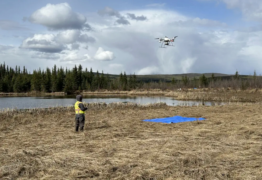
Coastal landscapes, including sandy beaches and foredunes, are dynamic and susceptible to changes caused by water level fluctuations, storm events, and human activities. Monitoring these changes is crucial for effective coastal management and resilience planning. Traditional methods for measuring geomorphic changes, such as small-unoccupied aircraft systems paired with structure-from-motion photogrammetry (sUAS-SfM), are often costly and ...
naturalsciencenews.com
Internet Of Waste SLU Researcher Uses AI To Tackle STL’s Waste And Recycling Problem

Internet Of Waste: SLU Researcher Uses AI To Tackle STL’s Waste And Recycling Problem

Neighborhoods in the City of St. Louis will soon be able to track their recycling and solid waste thanks to a geospatial sensor developed by a Saint Louis University researcher. Orhun Aydin, Ph.D., assistant professor in Earth and Atmospheric Science at SLU’s School for Science and Engineering, received a $149,791 planning grant from the National ...
firstalert4.com
Stormwater Hits D.C.'S Poorest Neighborhoods Hardest, Study Finds

Stormwater Hits D.C.’S Poorest Neighborhoods Hardest, Study Finds

A new University of Maryland study suggests that Washington, D.C.’s most socioeconomically vulnerable neighborhoods are less equipped to handle runoff from heavy rainfalls made more frequent by climate change. Published this month in Cities, the study reveals that the most densely populated communities in the District of Columbia, particularly in historically Black Southeast D.C., lack ...
phys.org

Satelytics Uses AI-Powered Geospatial Analytics To Help Georgia Power With Shoreline Management

Satelytics, a company specializing in geospatial analytics, has announced a successful partnership with Georgia Power, the largest electric subsidiary of Southern Company. Using advanced AI-powered geospatial technology, Satelytics is aiding Georgia Power in monitoring lakes and reservoirs, which are crucial for the utility’s hydroelectric system that serves over 2.6 million residents in Georgia. Satelytics deployed ...
waterpowermagazine.com
University Of Nevada, Reno Team Develops New Vegetation Mapping Tools

University Of Nevada, Reno Team Develops New Vegetation Mapping Tools

Powerful new digital mapping tools developed by University of Nevada, Reno researchers hold promise to improve management of rangeland, particularly public lands in the far-flung Western United States. The significant improvements in mapping of vegetation enabled by the University’s research provide managers of rangeland, ranchers as well as federal managers of public lands, with better ...
unr.edu
Twin NASA Satellites Ready to Help Gauge Earth’s Energy Balance

Twin NASA Satellites Ready to Help Gauge Earth’s Energy Balance

Information from the PREFIRE mission will illuminate how clouds and water vapor in the Arctic and Antarctic influence the amount of heat the poles radiate into space. A pair of new shoebox-size NASA satellites will help unravel an atmospheric mystery that’s bedeviled scientists for years: how the behavior of clouds and water vapor at Earth’s ...
nasa.gov
NASA Releases New High-Quality, Near Real-Time Air Quality Data

NASA Releases New High-Quality, Near Real-Time Air Quality Data

NASA has made new data available that can provide air pollution observations at unprecedented resolutions – down to the scale of individual neighborhoods. The near real-time data comes from the agency’s TEMPO (Tropospheric Emissions: Monitoring of Pollution) instrument, which launched last year to improve life on Earth by revolutionizing the way scientists observe air quality ...
nasa.gov