Geomaticians

Oregon

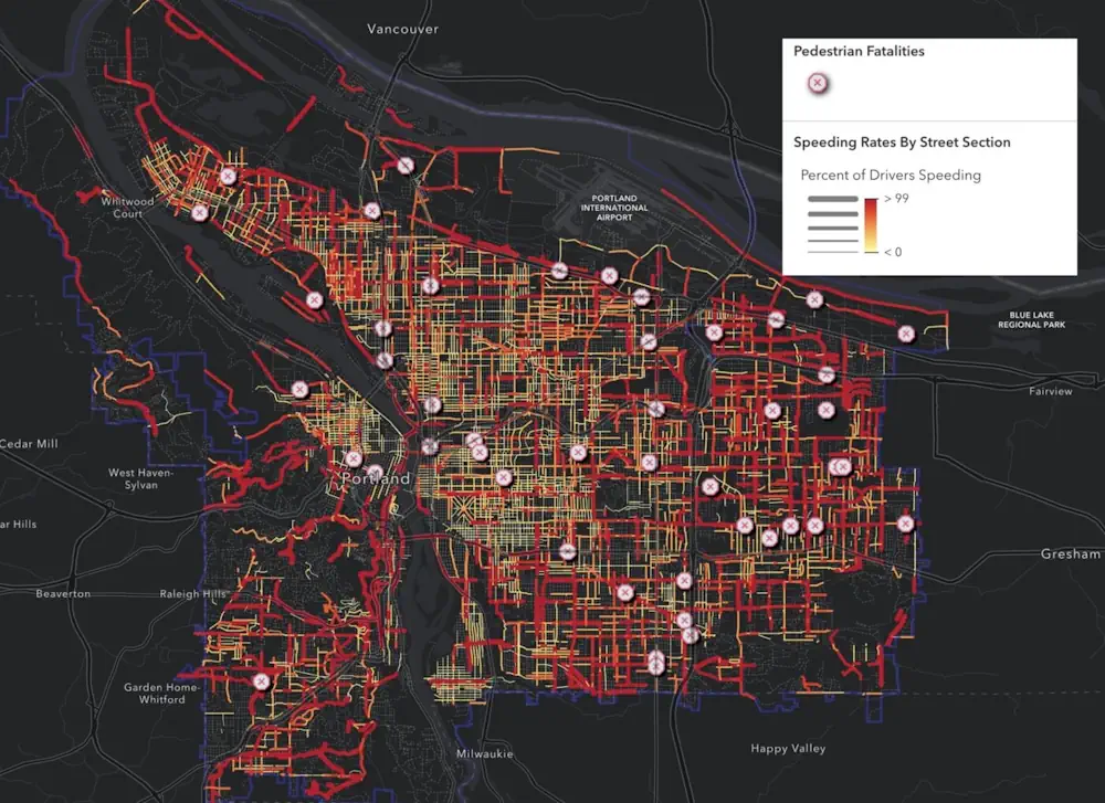
New Map Reveals Red Zones For Pedestrian Safety Risks

New Map Reveals Red Zones For Pedestrian Safety Risks

“Speed kills” is such a well-known mantra in transportation advocacy circles it’s at risk of becoming trite. So how can activists find new ways to communicate the crucial linkage between speeding drivers and the fatal crashes they cause? One answer to that question comes from a project by Portland Community College Student Jake Veto. Veto ...
bikeportland.org
Oregon Beginning Work On Revised 'Wildfire Hazard' Map

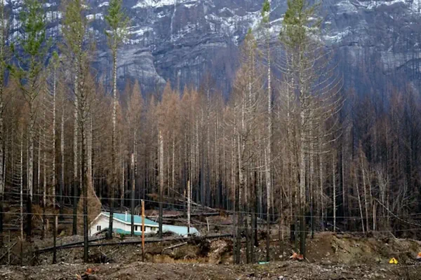
Oregon Beginning Work On Revised ‘Wildfire Hazard’ Map

What was called the ‘wildfire risk map’ is now the ‘wildfire hazard map.’ The map is intended to educate homeowners about their exposure to wildfire risk, determine where fire mitigation resources should be prioritized and identify where future state rules on home hardening and defensible space will apply. The name change reflects a shift by ...
ijpr.org

Hexagon Announces Aerial Data Collection Of Eight US States

Hexagon’s Geosystems division announced today that the HxGN Content Program will refresh data for eight U.S. states during this year’s collection season. All states — California, New York, Pennsylvania, Oregon, Kentucky, Michigan, North Carolina, and West Virginia — will be updated at a 6-inch (15-centimeter) resolution statewide, marking the program’s shift from a 12-inch to ...
geospatialworld.net