Geomaticians

Florida

CLCP Develops New Tools To Support Land Protection Decisions In Florida

CLCP Develops New Tools To Support Land Protection Decisions In Florida

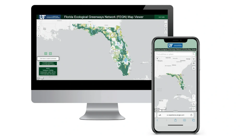
The University of Florida’s Center for Landscape Conservation Planning (CLCP) and GeoPlan Center have developed two new tools to support land protection decisions in Florida – a web map viewer and web-based dashboard for the Florida Ecological Greenway Network (FEGN). The FEGN is a statewide database that identifies and prioritizes a functionally connected statewide ecological ...
dcp.ufl.edu
Enter The Orlandoverse Why The Florida City Built A 3D Map Of The Region

Enter The Orlandoverse: Why The Florida City Built A 3D Map Of The Region

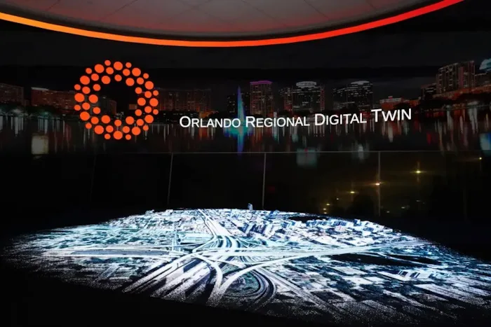
The city of Orlando wants to remind people it has more to offer than theme parks and tourism with a virtual representation of 800 square miles of the city and its surrounding area designed to help establish the region as an emerging tech hub. City officials developed the 3D map in partnership with video game ...
emergingtechbrew.com
How A Florida Water District Uses Google Tools For Quality Management

How A Florida Water District Uses Google Tools For Quality Management

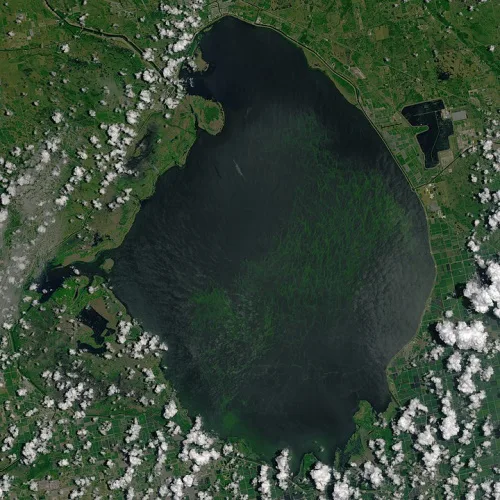
The South Florida Water Management District oversees water resources for more than 9 million residents, from Orlando to the Florida Keys. That means monitoring water quality, especially in Lake Okeechobee, the largest freshwater lake in the state and the 10th largest lake in the country. That’s no small task. In partnership with Google Public Sector, ...
statetechmagazine.com

New Mapping Techniques Rapidly Identified Hurricane Damage Across All Of Florida. Here’s How They Work

Hurricane Ian left an extraordinarily broad path of destruction across much of South Florida. That was evident in reports from the ground, but it also shows up in satellite data. Using a new method, our team of spatial and environmental analysts was able to quickly provide a rare big picture view of damage across the ...
fastcompany.com

USAR Damage Assessment Map Gives Information And A Look At Properties On Sanibel Island

A map that shows damage levels to properties on Sanibel Island has been completed from the assessment of structures by Urban Search and Rescue Teams. The damage assessments show there is widespread damage on the island, causing dangerous conditions throughout Sanibel and particularly in and around various structures. Maps can be viewed by clicking here ...
news.wgcu.org

City To Consider Funding For Real Time Crime Center

The Tallahassee Police Department (TPD) recently partnered with the Leon County Sheriff’s Office (LCSO) and the Florida State University Police Department (FSU-PD) to create the Center. The mission of the Center is to enhance communication, intelligence sharing, and coordination among state, county, and city law enforcement agencies within Leon County. The Center will be equipped ...
tallahasseereports.com