Geomaticians

Ukraine

Chornobyl Reserve Unveils New Online Mapping Portal Providing In-Depth Insights Into Exclusion Zone

Chornobyl Reserve Unveils New Online Mapping Portal Providing In-Depth Insights Into Exclusion Zone

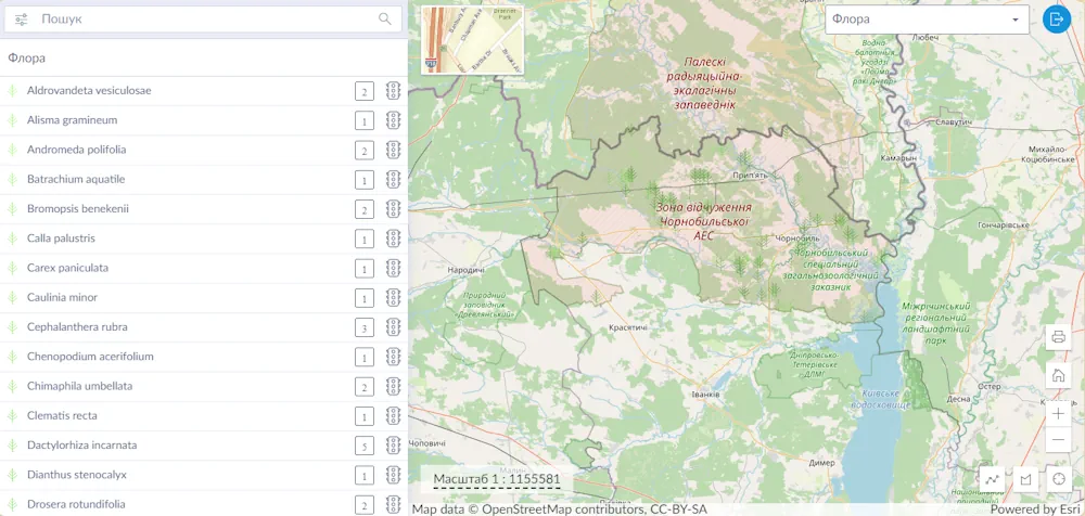
The Chornobyl Radiation-Ecological Biosphere Reserve has launched a geoportal with information on 38 years of activity of various departments on the territory of the exclusion zone: from research and education to accounting for land, forest and water resources, reported the Chornobyl Reserve. “Here you will find a map of modern, anthropogenic landscapes of the territory, ...
life.liga.net
Drones And AI Could Locate Land Mines In Ukraine

Drones And AI Could Locate Land Mines In Ukraine

Finding and removing land mines is an excruciatingly slow process. Human deminers scour contaminated ground inch by inch with handheld metal detectors, waiting for the telltale beep of a magnetic anomaly. Although trained dogs are sometimes used, metal detectors have remained the go-to clearance method since the end of World War II. “There’s a very ...
scientificamerican.com
Trimble’s GNSS Technology To Aid Landmine Identification And Clearance In Ukraine

Trimble’s GNSS Technology To Aid Landmine Identification And Clearance In Ukraine

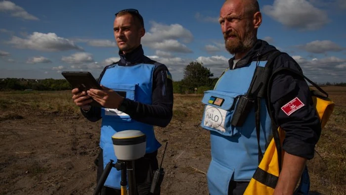
Trimble has announced a partnership with the HALO Trust, the world’s largest landmine-clearing non-profit organization, to help expand its demining operations across Ukraine. The grant from the Trimble Foundation Fund will focus on strengthening the HALO Trust’s capacity to locate and remove landmines, unexploded ordnance and other explosive hazards from civilian areas to create safer ...
gim-international.com

Trimble And Kyivstar Partner To Provide GNSS Correction Services For Agriculture, Construction And Geospatial Applications In Ukraine

Trimble and Kyivstar, Ukraine’s largest telecommunications company, are partnering to install a new Continuously Operating Reference Station (CORS) network to provide Global Navigation Satellite System (GNSS) correction services across the country. Available to users as an annual subscription service, the new network will be built using Trimble’s hardware and software positioning technology, which provides customers ...
agritechtomorrow.com

U.N. Uses Before-And-After Photos To Track Ukraine’s Cultural Destruction

The United Nations is reinforcing efforts to track the devastation inflicted on Ukraine’s architecture, art and historical sites by using satellite imagery to verify reports of destruction, two of its agencies announced. Using before-and-after satellite images taken by private companies, UNESCO and the U.N.’s Satellite Center plan to systematically document confirmed reports of damage to ...
washingtonpost.com
Ukrainians Using New Smartphone App To Make Precious 3D Records Of War-threatened Historic Buildings And Monuments

Ukrainians Using New Smartphone App To Make Precious 3D Records Of War-threatened Historic Buildings And Monuments

A new smartphone app is offering hope to people trying to preserve Ukraine’s war-threatened historic buildings. The “Backup Ukraine” project now lets ordinary people become archivists by using an app to digitally capture buildings and monuments as 3D models. Already, the app has recorded more than 6,000 downloads, and has between 30 and 50 active ...
abc.net.au