Geomaticians

England

London Underground Is Testing Real-Rime AI Surveillance Tools To Spot Crime

London Underground Is Testing Real-Rime AI Surveillance Tools To Spot Crime

Thousands of people using the London Underground had their movements, behavior, and body language watched by AI surveillance software designed to see if they were committing crimes or were in unsafe situations, new documents obtained by WIRED reveal. The machine learning software was combined with live CCTV footage to detect aggressive behavior, guns or knives ...
wired.com

Register Now For GEO Business 2024

Visitor registration is now open for GEO Business, the UK’s largest geospatial event. The free-to-attend expo designed for geospatial professionals who want to unlock the power of location intelligence, returns to ExCeL London on 5-6 June 2024. The highly anticipated 2024 instalment is set to be the best yet, as it returns for its landmark ...
suasnews.com
London Pollution Maps Shows Worst Areas For Road Run-Off Pollution

London Pollution: Maps Shows Worst Areas For Road Run-Off Pollution

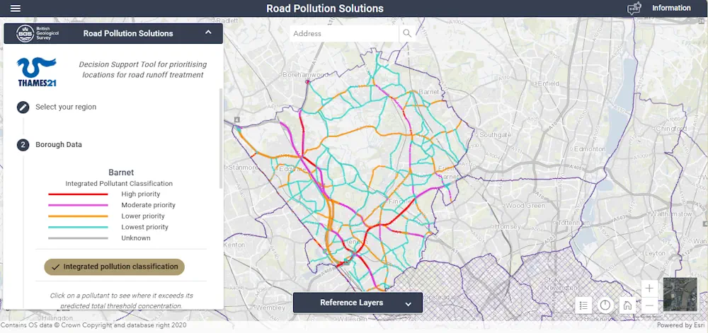
A new online map has been created to show where contaminated rain water from roads is polluting rivers in London. Environmental charity Thames21 has launched the site to help local authorities, as well as local communities, identify problem areas. Thames21 said contaminated run-off was caused by oil spills and tyre wear on the roads which ...
bbc.com
New Tree Map Launched Following Planting Season

New Tree Map Launched Following Planting Season

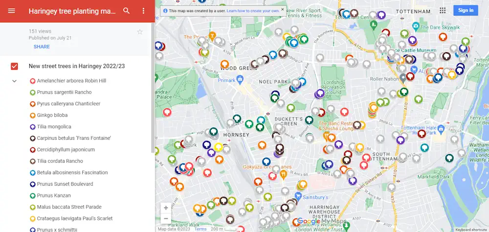
A new online map showing trees planted in Haringey over the last year has been launched on the council’s groundbreaking tree web pages. The interactive map highlights the type and location of each new tree planted in the borough’s green spaces and streets in 2022/23. Its user-friendly design enables website visitors to zoom in to ...
haringey.gov.uk
AI To Stop Water Pollution Before It Happens

AI To Stop Water Pollution Before It Happens

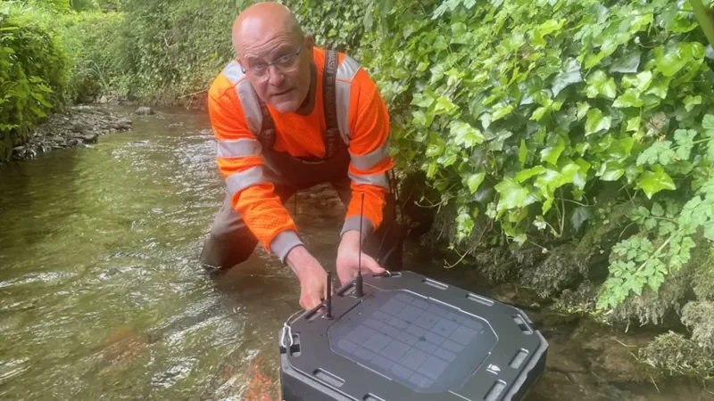
Artificial intelligence will be used in south-west England to predict pollution before it happens and help prevent it. It’s hoped the pilot project in Devon will help improve water quality at the seaside resort of Combe Martin, making it a better place for swimming. Sensors placed in rivers and fields will build a picture of ...
bbc.com

Birmingham Creates Interactive Mapping Portal Using Bluesky Tree Data

Birmingham City Council has launched a first of its kind mapping portal to address the issue of tree equity across the city. With National Tree Map data, created by aerial mapping company Bluesky International, at its core, the interactive tool allows users to identify which parts of the city have lower than average tree canopy ...
directionsmag.com
Historic England Launches The Country’s First Online Building Stones Database

Historic England Launches The Country’s First Online Building Stones Database

From Portland Stone to Millstone Grit, Historic England is launching a new online database of the stones that define the rich diversity of our country’s buildings. Historic England is unveiling the first Building Stones Database for England, which brings together information on over 4,000 types of building stones, their uses and sources, in a searchable ...
specificationonline.co.uk

South West Water Interactive Map Created To Show Water Quality At Beaches

An interactive map has been created by South West Water showing sewage releases around the coast. The WaterFit Live map is designed to share information about the region’s bathing beaches, location and performance of storm overflows, as well as the company’s plans to improve water quality. The government is making it mandatory for all water ...
itv.com
New Story Map Uncovers The Natural Beauty Of Cleethorpes Saltmars

New Story Map Uncovers The Natural Beauty Of Cleethorpes Saltmarsh

Like the Amazon, Cleethorpes Saltmarsh is a spectacular landscape that supports a rich variety of plants, birds and other creatures. It also captures and stores polluting carbon dioxide – more so than an area of rainforest the same size. North East Lincolnshire Council has created a new immersive story map to tell the remarkable story ...
nelincs.gov.uk
Web Mapping To Support The National Forest’s 25-year Vision

Web Mapping To Support The National Forest’s 25-year Vision

The National Forest Company (NFC) has awarded Cadcorp the contract to provide Cadcorp SIS Desktop, and cloud hosted Cadcorp SIS WebMap and Cadcorp Spatial Database Service. The contract includes a variety of services such as application management, support, and training. The National Forest covers 200 square miles of the Midlands. Since 1995, over 9 million ...
directionsmag.com

Online ‘Warm Spaces’ Map To Help Residents In Leeds Goes Live

An online map showing the locations of ‘warm spaces’ in Leeds to help people with the cost of living crisis has gone live today. The map, which can be seen at Warm Spaces Public app – embed (arcgis.com), shows the venues across the city which people are able to visit to keep warm to reduce ...
news.leeds.gov.uk

AGI Announces Last Chance To Secure Geocom Early Bird Booking Discounts

The UK membership organisation for companies and individuals working in the geospatial sector, the Association for Geographic Information, has announced an extension to the early bird booking discount for its flagship event GeoCom. The Association has also published the final agenda for its first in person annual conference in three years, with headline speakers from ...
directionsmag.com

Aylesbury Vale Residents Can Now Find Out If You Need Planning Permission Online As New Council Service Goes Live

The service is part of a national pilot by the Department for Levelling Up, Communities and Housing (DLUCH) to improve submitting and processing planning applications. The new service works by doing a high-level check of the project against legislation and Geographic Information System (GIS) data to see if the project may fall under ‘permitted development’. ...
bucksherald.co.uk

Developers Invited To The 2022 Joint OGC & ISO/TC 211 Code Sprint: The Metadata Code Sprint

The Open Geospatial Consortium (OGC) and Technical Committee 211 (TC 211) of the International Organization for Standardization (ISO) invite software developers to the 2022 Joint OGC & ISO/TC 211 Code Sprint aka The Metadata Code Sprint. Registration closes September 11. The hybrid online and in-person Sprint will focus on OGC API – Records, STAC, ISO ...
directionsmag.com
Air Quality Sensor Network Offers Highly Detailed Pollution Map In Camden

Air Quality Sensor Network Offers Highly Detailed Pollution Map In Camden

Developed by AirScape, the fixed network has 225 AirNode sensors that will provide 45 times more data points and refreshes 60 times more regularly than existing air-quality reference stations, to show a street-by-street picture of air quality in real time. The data collected will be made freely available online to enable individuals, businesses and local ...
eandt.theiet.org