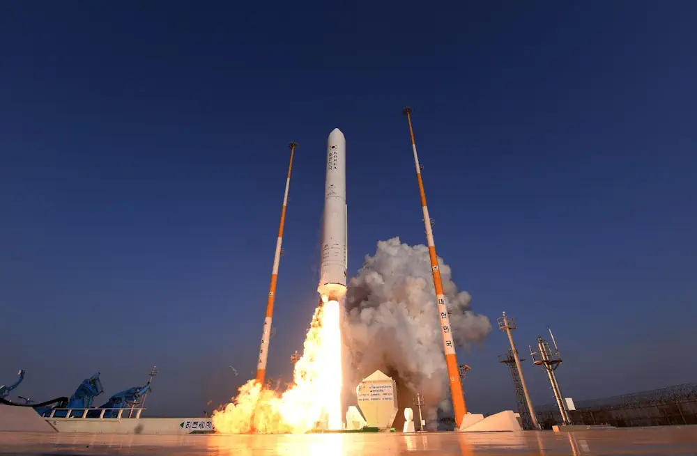
Nuri Successfully Sends 5 Out Of 8 Satellites Into Orbit
Five out of the total of eight satellites separated from Korea’s domestically developed space rocket Nuri, successfully entered their target orbits and are sending signals. Meanwhile, attempted communication with the remaining three satellites are “still ongoing.” The main payload, Next Generation Small Satellite, or NEXTSat-2, successfully entered its target orbit and two-way communication was made, ...
koreajoongangdaily.joins.com