Geomaticians

Saudi Arabia

Saudi Arabia’s 1,200-Station Renewable Energy Mapping Project Aims To Accelerate Clean Power Goals

Saudi Arabia’s 1,200-Station Renewable Energy Mapping Project Aims To Accelerate Clean Power Goals

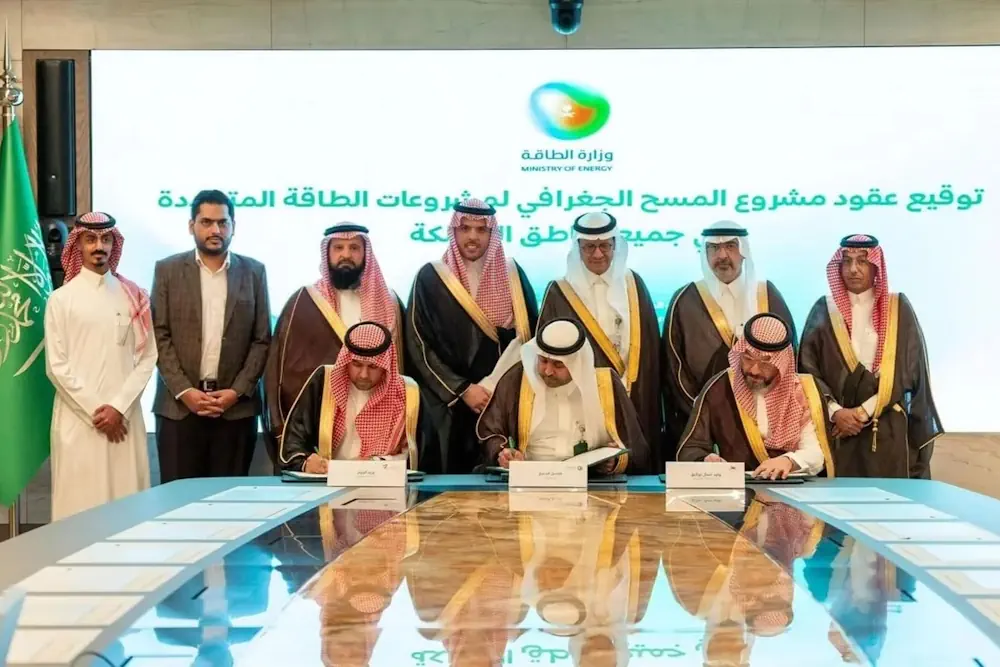
Saudi Arabia launched the Geographic Survey Project for Renewable Energy sites, according to the Saudi Press Agency (SPA). The Kingdom awarded contracts to Saudi companies to install 1,200 stations for measuring solar and wind energy across all regions of the country. Saudi Minister of Energy Prince AbdulAziz bin Salman bin AbdulAziz Al Saud stated that ...
economymiddleeast.com

Saudi Arabia Completes First Phase Of Desertification Assessment

The National Center for Vegetation Development and Combating Desertification (NCVC) has completed a significant step in its fight against desertification: the first phase of a project to assess the state of land degradation across the Kingdom, which resulted in the creation of 246 detailed maps. These maps provide valuable insight into desertification trends and the ...
gdnonline.com

Saudi Ministry Launches GIS-Enabled Digital Platform For Water Management

The Ministry of Environment, Water, and Agriculture has announced a significant step forward in water management and planning by signing a contract to establish a geographical information system (GIS) for water planning. This initiative aims to create a smart water digital platform aligning with international best practices for the water sector within the Kingdom. Dr. ...
zawya.com

India’s Genesys To Digitally Map Mecca’s Holy City

Genesys International Corporation’s subsidiary in Saudi Arabia, Genesys Middle East Ltd., has been awarded the prestigious contract for the 3D Digital Twin mapping of the Holy City of Mecca by the Kingdom of Saudi Arabia. This pioneering project, valued at Rs. 26 crores in this phase marks a historic venture into utilizing digital twin mapping ...
geospatialworld.net
Naver To Build Digital Twin Platform For Saudi Cities

Naver To Build Digital Twin Platform For Saudi Cities

South Korean internet giant Naver said Tuesday it has secured a large-scale deal in Saudi Arabia to build a cloud-based digital twin platform for the kingdom’s futuristic smart city project. The deal signing ceremony was held in Saudi capital Riyadh on Monday upon President Yoon Suk Yeol’s state visit. Naver didn’t reveal the exact size ...
theinvestor.co.kr

جامعة الملك عبدالعزيز تقدّم مشروع “أطلس الوديان في المملكة”

قدّم مركز أبحاث المياه بجامعة الملك عبدالعزيز، مشروعًا جديدًا يُعنى بأطلس الوديان في بعض مناطق المملكة، ضمن مبادراته العملية للحفاظ على الماء بوصفه من أهم الموارد الطبيعية لحياة الإنسان وجميع أنشطته الاجتماعية والاقتصادية في مختلف المجالات، وخاصة في مجال الزراعة والصناعة. تأتي فكرة المشروع مع تزايد النمو السكاني وازدياد استهلاك المياه من مختلف القطاعات التنموية، ...
alyaum.com

Survey And Geospatial Information Authority Releases Official Map Of Saudi Arabia

Saudi Arabia’s General Authority for Survey and Geospatial Information announced on Monday that it is the national authority responsible for producing the official map of the Kingdom with approved international borders. It also said it is responsible for providing maps to all government agencies, the private sector, the academic sector, individuals, and the media, Saudi ...
arabnews.com

Satellogic And Quant Data & Analytics Announce 3-year Agreement

Satellogic Inc., a leader in sub-meter resolution Earth Observation data (“EO”) collection, announced today that it has signed an agreement with Quant Data & Analytics (“Quant”), a leading Saudi provider of Data & AI Products and Enterprise Solutions focused on the real estate and retail sectors. This strategic agreement leverages Satellogic’s high-resolution satellite imagery to ...
spaceref.com

Program For Monitoring Vegetation Cover Using Remote Sensing Techniques And AI Launched

The Minister of Environment, Water and Agriculture Eng. Abdulrahman Al-Fadhli, who is also the Chairman of the Board of Directors of the National Center for Vegetation Development and Combating Desertification (NCVC), has launched a program to monitor, evaluate and study the vegetation cover areas using remote sensing techniques and artificial intelligence. The program will also ...
saudigazette.com.sa
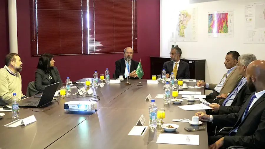
El SEGEMAR Y El Servicio Geológico De Arabia Saudita Firman Acuerdo De Cooperación Científica Geológica

El SEGEMAR Y El Servicio Geológico De Arabia Saudita Firman Acuerdo De Cooperación Científica Geológica

El objeto del acuerdo es la cooperación en el campo de la geología, proporcionando un marco institucional para el intercambio de conocimientos y mejorar las competencias técnicas y geológicas entre ambos organismos. En este sentido, ambas instituciones coincidieron en promover la cooperación científica y técnica en temas de prospección geológica, geofísica y evaluación de recursos ...
argentina.gob.ar

Saudi Transport Ministry, GASGI Form Partnership To Raise Geospatial Efficiency

In a joint effort aimed at enhancing the performance of the geospatial sector in Saudi Arabia, the Ministry of Transport and Logistic Services signed a partnership agreement with the General Authority for Survey and Geospatial Information to provide reliable geography and mapping information. The agreement, signed at the ministry’s headquarters in Riyadh, aims to raise ...
arabnews.com

Saudi Geospatial Authority To Align With UN Framework For Better Ground Information

The General Authority for Survey and Geospatial Information participated in the inaugural meeting of the international advisory committee of its UN counterpart between April 20 and 22 in Deqing, China. During the meeting, the Kingdom of Saudi Arabia presented the experience of the GASGI in developing a national strategy in line with global standards prescribed ...
geospatialworld.net

إعادة تأهيل المراعي الطبيعية المتدهورة باستخدام طائرات الدرونز

وقع المركز الوطني لتنمية الغطاء النباتي ومكافحة التصحر، عقدا مع تحالف المكتب الإقليمي للاتحاد العالمي لحماية الطبيعة في الشرق الأوسط وشمال آسيا (IUCN) وشركة تلاد البيئة التجارية؛ لتنفيذ مشروعي دراسة مواقع إعادة تأهيل المراعي المتدهورة، وتحديد الحمولة الرعوية في عدد من المناطق المستهدفة. وأوضح المركز أن المشروع الأول يستهدف دراسة مواقع تنفيذ مشاريع إعادة تأهيل ...
ajil.news

البوابة المكانية لمنطقة الرياض الأراضي الموقوفة مستخدم عام

تتيح أمانة منطقة الرياض من خلال الإدارة العامة لتقنية المعلومات ومركز نظم المعلومات الجغرافية فرقة من البيانات القيمة التي تتعلق ب التطور العمراني للمنطقة و التي تسهل على المواطن الدخول إلى البوابة المكانية لمنطقة الرياض و الدخول مباشرة إلى الخريطة التفاعلية المنطقة والبحث عن موقِع معين ما إذا باستخدام الإحداثيات أو عن الطريق تصفح الخريطة.
mokhtsr.com