Geomaticians

Kenya

IBM Advances Geospatial AI To Address Climate Challenges

IBM today announced new efforts that apply its geospatial AI technologies, including IBM’s geospatial foundation model developed in collaboration with NASA, to climate efforts including analysis of urban heat islands in the United Arab Emirates (UAE); reforestation across Kenya; and climate resiliency in the United Kingdom (UK). IBM continues to advance its AI model strategy ...
newsroom.ibm.com

Sino-Kenyan Forum Opens In Kenya To Boost Use Of Geospatial Technologies

A Sino-Kenyan forum started in the Kenyan capital, Nairobi, Wednesday to seek ways of promoting the use of geospatial technologies in agriculture, urban planning and natural resource management. The 2023 Supermap GIS software innovation conference that was jointly organized by Kenya’s Directorate of Resource Surveys and Remote Sensing and Chinese firm Supermap gathered government officials, ...
china.org.cn

Space Intelligence To Map Kenya And Tanzania To Support Integrity And Transparency In The Carbon Markets

According to reports by Space Intelligence, a NatureTech company specialising in Digital MRV (Measurement, Reporting, and Verification) across the tropics to support nature-based solutions to climate change, it has been selected to map Kenya and Tanzania to support integrity and transparency in the carbon markets. The maps, expected to be verified by Verra, will help ...
africanews.space

Scientists To Converge In Nairobi For Earth Observation Conference

Top Scientists from across the world are set to put their heads together in Nairobi next week to find solutions to challenges facing the earth through the use of earth observation technologies. Regional Centre for Mapping of Resources for Development Director General Dr Emmanuel Nkurunziza told journalists that over 1,000 delegates are expected. “The conference ...
the-star.co.ke

FAO, EU Provide Digital Technologies To Boost Land Management In Kenya

The Food and Agriculture Organization (FAO) of the United Nations and the European Union (EU) on Friday announced the setting up of Geographic Information System (GIS) laboratories to boost land governance in rural Kenya. Husna Mbarak, Lead in land and natural resource governance at the FAO, said the agency plans to set up 34 GIS ...
english.news.cn
New Study Finds Shifting Climate Regions Leading To Hotter, Drier Conditions Across Kenya

New Study Finds Shifting Climate Regions Leading To Hotter, Drier Conditions Across Kenya

Research published in Regional Environmental Change has shown that as climate zones shift toward hotter and drier conditions, ecological diversity will decline, posing a major threat to terrestrial ecosystems with far-reaching social and ecological impacts. The research team analyzed Kenya’s geographic distribution and arrangement of climate zones between 1980-2020. Over that time, tropical climate regions ...
eurekalert.org
Kenya Launches First Operational Satellite Onboard SpaceX Rocket

Kenya Launches First Operational Satellite Onboard SpaceX Rocket

Kenya launched its first operational earth observation satellite on Saturday onboard a SpaceX rocket from the United States. The satellite, developed by nine Kenyan engineers, will collect agricultural and environmental data, including on floods, drought, and wildfires, that authorities plan to use for disaster management and to combat food insecurity. “We have the challenges that ...
tvpworld.com
Observing Group-living Animals With Drones And Computer Vision

Observing Group-living Animals With Drones And Computer Vision

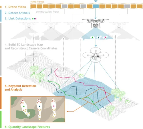
To explore animal groups such as zebras or gelada monkeys, Ben Koger, Blair Costelloe, Iain Couzin, and other researchers from the Max Planck Institute of Animal Behavior, the CASCB at the University of Konstanz, and Aarhus University developed a new method for collecting data about animal behaviour and the animals’ surrounding natural physical landscape using ...
Despite Low Investment, Geospatial Technologies Prove An Essential Driver Of Development In Africa

Despite Low Investment, Geospatial Technologies Prove An Essential Driver Of Development In Africa

Despite low government investment and a lack of legal framework to guide their use, geospatial technologies are being applied in a wide range of fields across Africa, and are proving to be indispensable tools in the socio-economic development of the continent, according to a recent conference on the topic. The fifth edition of the Regional ...
equaltimes.org