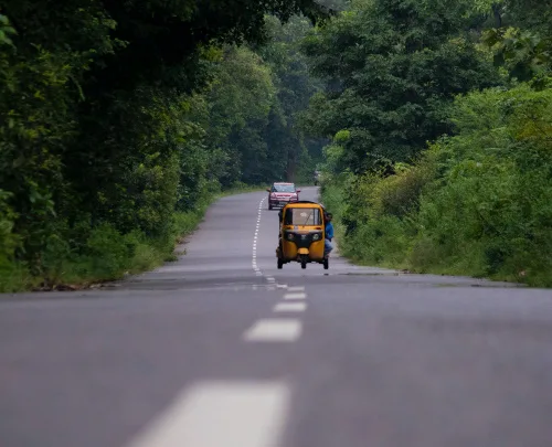
All Roads In Telangana To Be Mapped By Remote Sensing
All roads in Telangana would be mapped with the help of satellite remote sensing systems to help in better planning and maintenance, Vice-Chairman of the State Planning Board B. Vinod Kumar said on Monday. The mapping would include length of the roads, width of roads at different locations, their conditions, existing culverts and bridges. The ...
thehindu.com
