Geomaticians

India

India To Introduce GNSS-Based Toll Collection System

The National Highways Authority of India (NHAI) invited expressions of interest from global innovators to develop a GNSS-based electronic toll collection system, as announced by the Ministry of Road Transport and Highways. This initiative aims to integrate the GNSS system within the existing FASTag framework through a hybrid model combining RFID and GNSS-based toll collection. ...
kashlem.com
TRISHNA Mission

TRISHNA Mission: Advancing High-Resolution Thermal Imaging For Climate And Resource Management

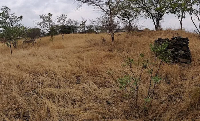
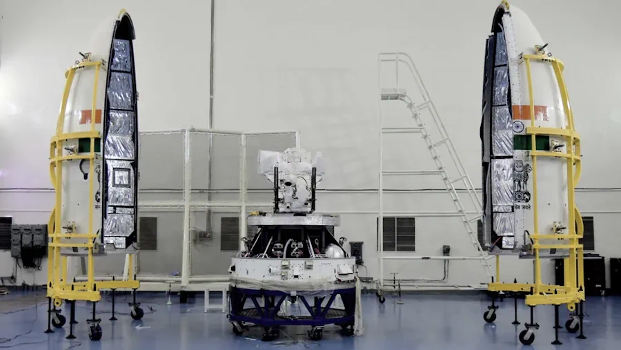
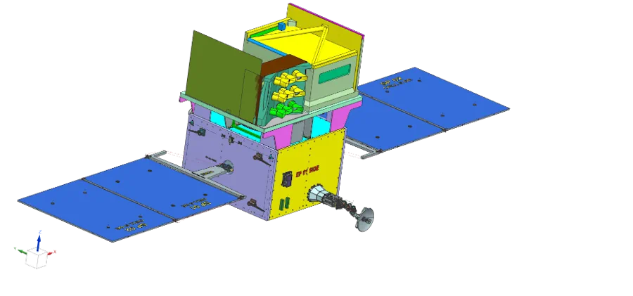
The TRISHNA (Thermal Infra-Red Imaging Satellite for High-resolution Natural Resource Assessment) mission, a collaborative endeavor between ISRO and CNES, is engineered to deliver high spatial and high temporal resolution monitoring of Earth’s surface temperature, emissivity, biophysical and radiation variables for surface energy budgeting at regional to global scale. This mission addresses critical water and food ...
isro.gov.in
IdeaForge Announces Flyght Cloud Platform For Drone Data Analytics

IdeaForge Announces Flyght Cloud Platform For Drone Data Analytics

ideaForge Technology Limited, a drone technology company, announced the Beta launch of its groundbreaking Flyght Cloud platform, poised to redefine the landscape of drone data analytics. This innovative platform can eliminate the complexities of multiple vendors, regulations, and inefficient workflows. Operated with a subscription-based pricing model, it provides flexibility and affordability through various workflows tailored ...
geospatialworld.net

Kia India Ties Up With Map My India

Kia India on Thursday said it has tied up with Map My India to offer navigation solutions to its customers nationwide. The platform’s four-wheeler-specific points of interest search, spanning over 450 categories, enables easy discovery of vital services like dealerships and service centres, fuel stations, hospitals, hotels, restaurants, and more, the automaker said in a ...
deccanherald.com

MoSPI Signs MoU With ISRO On Urban Frame Survey Using Bhuvan

The NSSO (FOD) under Ministry of Statistics and Programme Implementation (MoSPI) has entered into a Memorandum of Understanding (MoU) with the National Remote Sensing Centre (NRSC) under the Indian Space Research Organization (ISRO) to facilitate Urban Frame Survey (UFS) in a digital mode using the state-of-the-art Geo ICT tools and techniques using Bhuvan Platform. The ...
pib.gov.in
Esri India To Train 100K Students In Geospatial Technology For Free

Esri India To Train 100K Students In Geospatial Technology For Free

Multinational geographic information system company Esri India and independent public policy think tank Centre for Knowledge Sovereignty (CKS) have unveiled the pilot phase of the Master Mentors Geo-enabling Indian Scholars (MMGEIS) program to train students across the country in geospatial technology. The students will be guided by a team of experienced professionals including A. S. ...
analyticsindiamag.com

Space Companies Want Govt To Implement DPI For Earth Observation

Space startups such as GalaxEye Space, Dhruva Space and Pixxel have called on the government to implement a digital public infrastructure (DPI) for earth observation-based geospatial analytics. The Indian Space Association (ISpA) has sent a representation to the government making a similar pitch, saying it will open new horizons for India’s booming space sector. The ...
economictimes.indiatimes.com

IMD Launches Weather Forecast Portal For Farmers & MAUSAM App

New Delhi, Jan 15 (UNI) India Meteorological Department (IMD) on the 150th year of its establishment, on Monday launched the weather forecast portal ‘Panchayat Mausam Seva for farmers’ to support farmers with timely weather alerts and warnings for planning agricultural activities accordingly. “Through this portal, weather forecasts in English, Hindi and twelve regional languages will ...
uniindia.com
This US-Indian Satellite Will Monitor Earth’s Changing Frozen Regions

This US-Indian Satellite Will Monitor Earth’s Changing Frozen Regions

NISAR, the soon-to-launch radar satellite from NASA and the Indian Space Research Organisation (ISRO), will measure some key Earth vital signs, from the health of wetlands to ground deformation by volcanoes to the dynamics of land and sea ice. This last capability will help researchers decipher how small-scale processes can cause monumental changes in the ...
jpl.nasa.gov

Digital Demarcation Of Deemed Forests Begins In Delhi

The Delhi government has identified and is in the process of digitally demarcating over 2,000 hectares of land and over 450km of roads and drains as deemed forests, the state forest department has said in an affidavit submitted to the Delhi high court last month. A deemed forest is not a notified or a reserve ...
hindustantimes.com

Portal To Map Health Facilities Launched

The Department of Health Services (DoHS), on Wednesday launched the Geo Web Portal for Health Centres. Dr. HC Lyndem, the Director of DHS(MI), inaugurated the portal at the DHS headquarters in Shillong. The portal provides rich information through space technology mapping. It plays a crucial role in assessing existing health resources by considering factors such ...
themeghalayan.com

Joshi Launches India’s National Geoscience Data Repository (NGDR) Portal

Minister for Mines Pralhad Joshi launched India’s National Geoscience Data Repository (NGDR) portal on Tuesday. NGDR is a comprehensive online platform that will host the geospatial data for the entire country. Terming the NGDR portal the culmination of the work of several years, Mines Secretary VL Kantha Rao said that out of the total 32 ...
psuwatch.com

Geo-Tagging Of Properties Mandatory To Avail Property Tax Exemption In Delhi: MCD

Municipal Corporation of Delhi has made geo-tagging of all kinds of properties mandatory to avail of the property tax exemption, an official statement said on Tuesday. If any taxpayer fails to geo-tag their properties by 31 January, they will not be able to avail 10 per cent rebate on lump sum advance payment of tax ...
realty.economictimes.indiatimes.com

India’s Genesys To Digitally Map Mecca’s Holy City

Genesys International Corporation’s subsidiary in Saudi Arabia, Genesys Middle East Ltd., has been awarded the prestigious contract for the 3D Digital Twin mapping of the Holy City of Mecca by the Kingdom of Saudi Arabia. This pioneering project, valued at Rs. 26 crores in this phase marks a historic venture into utilizing digital twin mapping ...
geospatialworld.net

Trimble Supports Indian Institute Of Technology With Inertial Navigation Solutions For UAV Industry Leadership

Trimble announced today a collaboration with the Indian Institute of Technology in Kanpur (IIT Kanpur) to support a new program in uncrewed aerial vehicles (UAV) to be offered by the Department of Aerospace Engineering. A signing ceremony to officially launch the program was held on October 26 and attended by Professor Tarun Gupta, dean of ...
uasweekly.com

In A First, Survey Of India Joins Hands With Private Mapping Firm For ‘Digital Twins’

In a first-of-its-kind initiative, the Survey of India (SoI), historically the custodian of India’s maps, has signed an agreement with a Mumbai-based private company, Genesys International, to prepare three-dimensional maps of several cities and towns. Called ‘Digital Twins,’ these maps are three-dimensional representations of cities and when coupled with high-resolution images, can be used in ...
thehindu.com

EUSI And Pixxel Partner For Hyperspectral Imagery Offerings

European Space Imaging (EUSI) and Pixxel have announced a strategic partnership that will give customers access to the “world’s most detailed hyperspectral imagery” from Pixxel directly through EUSI. Together with EUSI’s capability to build insights and products, the partnership has the potential to set a new benchmark in remote sensing applications in the region. Furthermore, ...
spacewatch.global

Greater Noida Authority To Undertake GIS Mapping To Protect Government Land

With a view to protect government land from encroachment in all 124 villages under its jurisdiction, the Greater Noida authority has decided to carry out a geographic information system (GIS) survey soon, officials aware of the matter said. “The survey will determine how much land has been grabbed in each village. After that, the authority ...
hindustantimes.com
India’s Leading Drone Tech Company IG Drones Enters Global Partnership With Korea-based IGiS At GITEX Dubai

India’s Leading Drone Tech Company IG Drones Enters Global Partnership With Korea-based IGiS At GITEX Dubai

India’s foremost drone technology company, IG Drones, has forged a strategic alliance with iGiS, a Korean specialist in geospatial information-based drone solutions, announced during the prestigious North Star GITEX Global event. IG Drones and iGiS have formed a significant partnership through a strategic Memorandum of Understanding (MOU). This collaboration aims to leverage their strengths for ...
livemint.com
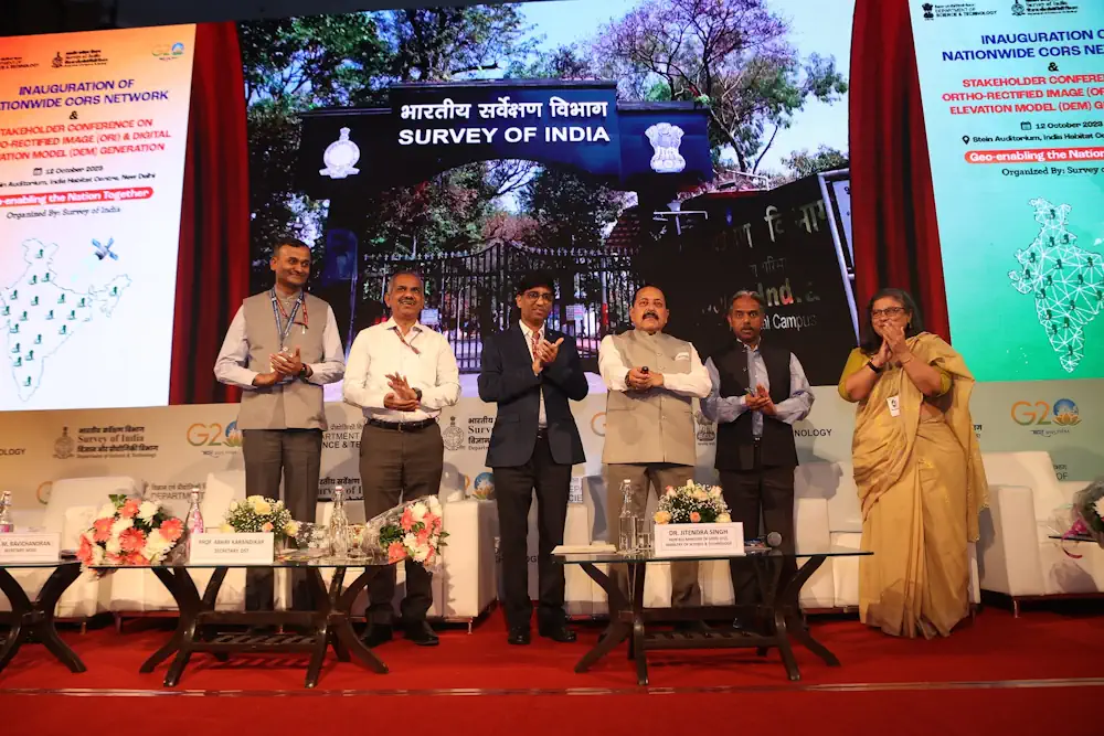
Union Minister Dr Jitendra Singh Launches State-Of-Art Latest National Survey Network

Union Minister Dr Jitendra Singh Launches State-Of-Art Latest National Survey Network

Union Minister of State (Independent Charge) Science & Technology, MoS PMO, Personnel, Public Grievances, Pensions, Atomic Energy and Space, Dr Jitendra Singh today launched state-of-art latest National Survey Network. The nationwide “Continuously Operating Reference Stations” (CORS) Network will be operated by the Survey of India. “India now has a world class Precise Location based service, ...
dst.gov.in

In A First, CIDCO To Use AI, Satellite Imagery To Detect Illegal Structures

The City and Industrial Development Corporation (CIDCO for the first time is eyeing the possibility of using automated technology to identify illegal constructions happening in its area. The application that CIDCO plans to develop will enable officials to do extensive area-based study with the help of high resolution satellite imagery. “This technological intervention will supplement ...
hindustantimes.com

ISRO Working To Expand Navigation System NaVIC Coverage To 3,000 Km From 1,500 Km Beyond India

Isro is working on increasing the coverage of its Indian Regional Navigation Satellite System or NaVIC to 3,000 km from the existing 1,500 km (from beyond the Indian boundary), Isro chairman S Somanath informed on Tuesday. During the CSIR Foundation Day event at Bharat Mandapam, Somanath gave a presentation of the space agency’s activities where ...
timesofindia.indiatimes.com

AWS Ties Up With ISRO And IN-SPACe To Advance India’s Space Capabilities With Cloud Technologies

Amazon Web Services (AWS) India Private Limited has signed a strategic Memorandum of Understanding with the Indian Space Research Organization (ISRO) and Indian National Space Promotion and Authorization Centre (IN-SPACe) to support space-tech innovations through cloud computing. This collaboration will give space startups, research institutes and students access to cutting edge cloud technologies that accelerate ...
aboutamazon.in

Compulsory For UP Developers To Tag Projects With GIS-based Master Plans

The Uttar Pradesh Real Estate Regulatory Authority (UP RERA) will soon make it mandatory for developers to tag the maps of their projects with the Geographic Information System (GIS)-based master plans in 13 major cities across the state. This move is meant to check whether the upcoming project is on a bona fide site as ...
daijiworld.com

CS Launches Online Statistical Data Collection Applications

Chief Secretary of Nagaland, J. Alam, has unveiled two significant online statistical data collection applications developed by the Directorate of Economics & Statistics, Nagaland. The launching programme was held on August 22 at the Chief Secretary’s Conference Hall in Kohima. According to a DIPR report, the first application is the Village Level Development Indicators (VLDI), ...
nagalandpost.com
Geospatial AI And ML To Revolutionise Air Quality Monitoring In Indian Cities

Geospatial AI And ML To Revolutionise Air Quality Monitoring In Indian Cities

Geospatial artificial intelligence (AI) and machine learning models are set to transform the monitoring of air quality in major Indian cities, including Delhi, Mumbai, Bengaluru, Chennai, and Kolkata. This groundbreaking development was announced by a senior scientist during the India Clean Air Summit (ICAS) 2023. “We must link up SDGs and air pollution indicators, as ...
theweek.in

Khanan Prahari App Helping To Curb Illegal Coal Mining Activities Through Public Participation

The mobile app Khanan Prahari, which allows citizens to report incidents of illegal coal mining through geo-tagged photographs and textual information, is a significant step taken by the Ministry of Coal towards curbing illegal coal mining activities. The corresponding web portal called as Coal Mine Surveillance & Management System (CMSMS) has been developed in association ...
indiaeducationdiary.in

India-Omani Earth Observation Platform Inaugurated

In a cooperation initiative between the Ministry of Transport, Communications and Information Technology and the Indian Space Research Organization, His Excellency Engineer Saeed bin Hamoud Al Maawali, Minister of Transport, Communications and Information Technology, inaugurated the India-Omani Earth Observation Platform. With the aim of learning about the Indian experience in the field of space, His ...
timesofoman.com

IN-SPACe May Be Looking At 130 Satellites, But Need More Than That: Experts

Is the Indian government looking at having about 130 earth observation satellites under the public-private-partnership model, an idea mooted by the Indian National Space Promotion and Authorisation Centre (IN-SPACe) in its consultation paper? It seems yes, based on the kind of imagery that is required and the number of revisits a satellite has to make ...
nagalandpost.com

3 Indian Space Startups To Launch Satellites In FY24: In-space

Three private sector satellite makers are expected to send their earth observation satellites this fiscal, according to the sectoral regulator Indian National Space Promotion and Authorisation Centre (IN-SPACe). The three companies are the Chennai-based GalaxEye Space Solutions Pvt Ltd, Hyderabad-based Dhruva Space and the Bengaluru-based Pixxel. GalaxEye’s first satellite Dhrishti is expected to launch in ...
hindupost.in