Geomaticians

Finland

Iceye Launches Radar Satellite Service To Monitor The High Seas

Iceye, a company that builds and operates a constellation of microsatellites equipped with synthetic aperture radar (SAR) sensors, has launched a new maritime surveillance product called Ocean Vision. The service, announced March 7, aims to provide comprehensive monitoring of the world’s oceans. SAR satellites detect the signatures of vessels that stand out against the dark ...
spacenews.com
New Remote Sensing Method Helps Monitor The Results Of Peatlands Rehabilitation

New Remote Sensing Method Helps Monitor The Results Of Peatlands Rehabilitation

Peatlands constitute one of the most important carbon stores on the planet. Rehabilitation aims at restoring drained peatlands to their natural state. Earth’s peatlands store nearly one-third of all carbon sequestered into soil. When peatlands are drained – or dried – the carbon stored within is released into the atmosphere. A total of 50 million ...
aalto.fi
httpsspacewatch.global202305iceye-introduces-satellite-radar-dwell-capability

ICEYE Introduces Satellite Radar Dwell Capability

ICEYE has announced a new imaging mode known as Dwell to enable its synthetic aperture radar (SAR) satellites to remain focused on a specific point on the ground for an extended collection time. This long-duration imaging mode allows ICEYE satellites to capture significantly more information about the imaging target, creating a new capability for imagery ...
spacewatch.global

Topcon Launches GNSS Network Correction Service In Finland

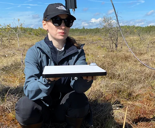
Global provider of precision measurement and workflow solutions Topcon Positioning Group has announced the launch of Topnet Live in Finland, with the real-time GNSS network correction service now available for construction, agriculture, and mobility businesses across the country. The new network offers users a full-constellation service, which uses all four GNSS satellite systems for greater ...
geospatialworld.net