Geomaticians

Egypt

Geographic Information System To Assess And Mitigate Natural Disasters

Southampton University has partnered with three of Egypt’s top institutions in a project aiming to assess and mitigate natural disasters through geographic information system (GIS) mapping technology. The project, ‘Seismic Resilience of Egypt’s Built Environment: A GIS-Based Framework for Assessment and Mitigation’ (Egypt-SeReAM), has received £133.5K from the Engineering and Physical Sciences Research Council (EPSRC) ...
theengineer.co.uk
Egypt Launches Nexsat-1 Satellite From China

Egypt Launches Nexsat-1 Satellite From China

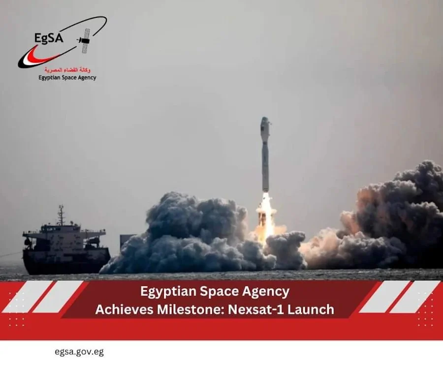
The Egyptian Space Agency (EgSA) has launched its NexSat-1 satellite into orbit aboard Jielong-3 (Smart Dragon-3), China’s small orbital launch vehicle and has subsequently established communications with the satellite. The microsatellite weighs 67 kilograms, and it features a panchromatic imaging payload with 5.7 meters of ground resolution. EgSA’s CEO, Dr Sherif Sedky, announced the launch ...
spacewatch.global
China Launches Remote-Sensing Satellite For Egypt

China Launches Remote-Sensing Satellite For Egypt

China launched a remote-sensing satellite for Egypt late on Sunday (Dec. 3) as space cooperation between the two countries deepens. A Long March 2C rocket lifted off from Jiuquan Satellite Launch Center in the Gobi Desert at 11:10 p.m. EST on Sunday (0410 GMT, or 12:10 p.m. Beijing time on Dec. 4), with insulation tiles ...
space.com
Ecologists Use Satellite Images To Predict Wheat Yield With 98% Accuracy Via Satellite Imagery

Ecologists Use Satellite Images To Predict Wheat Yield With 98% Accuracy Via Satellite Imagery

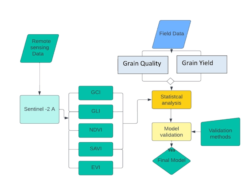
RUDN University ecologists found a parameter in satellite images that allows accurately calculating and increasing the wheat yield. Such technology helps agronomists monitor crops and make decisions. These results were published in The Egyptian Journal of Remote Sensing and Space Science. Low crop yields are usually associated with disturbances in agro-climatic conditions, improper or untimely ...
phys.org

Esri NA Signs Deal To Provide Egypt With GIS Programs

Egyptian Ministry of Communications and Information Technology has signed an agreement with the geographic information system (GIS) software firm Esri North Africa (Esri NA) to provide the latter’s latest GIS programs to the Egyptian universities, a statement showed. The deal also aims to build the capacities of the Egyptian staff in the field of GIS ...
zawya.com
China Completes Egypt's Remote Sensing Satellite Misrsat 2

China Completes Egypt’s Remote Sensing Satellite Misrsat 2

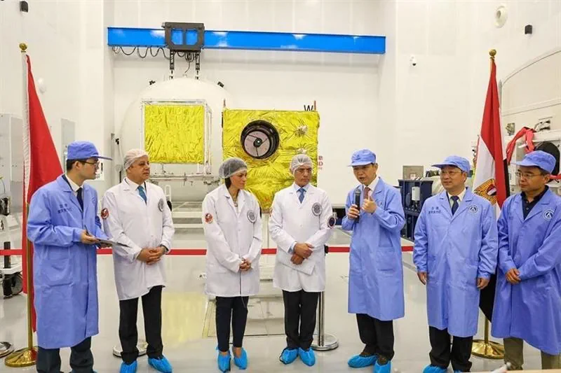
China Aerospace Science and Technology Corporation (CASC) has completed the assembly and testing of Egypt’s remote sensing satellite MisrSat 2, according to a statement by the Ministry of International Cooperation on Sunday. The satellite was built using a $92 million grant provided by China to fund two projects in Egypt that was signed in February ...
english.ahram.org.eg
Brasileiros Recriam Rosto Do Homo Sapiens Mais Antigo Do Egito; Veja

Brasileiros Recriam Rosto Do “Homo Sapiens” Mais Antigo Do Egito; Veja

Uma dupla de pesquisadores brasileiros conseguiu reconstituir, a partir de técnicas de aproximação forense, o rosto de um fóssil com aproximadamente 35 mil anos de idade. O exemplar foi inicialmente descoberto em 1980, no Vale do Nilo, e é considerado como o Homo sapiens mais velho já registrado no Egito. “Esse fóssil passa por estudos ...
revistagalileu.globo.com

China Launches 2nd Horus Remote-Sensing Satellite For Egypt

China has launched a second remote-sensing satellite for Egypt, just weeks after lofting the first in the series to orbit. A Long March 2C rocket lifted off from Jiuquan Satellite Launch Center in the Gobi Desert at 12:02 a.m. EDT on March 13 (0402 GMT, or 12:02 p.m. Beijing time). Orange exhaust pushed the rocket ...
space.com

رئيس جامعة الأزهر: نخطو خطوات سباقة في مجال تكنولوجيا الأقمار الصناعية

قال رئيس جامعة الأزهر الدكتور محمد المحرصاوي، إن الجامعة تخطو خطوات سباقة في مجال تكنولوجيا الفضاء، وتعميق تعلم تكنولوجيا الأقمار الصناعية، ونشر هذه الثقافة، وذلك في إطار تحقيق أهداف التنمية المستدامة. جاء ذلك خلال افتتاح رئيس جامعة الأزهر، اليوم الثلاثاء معملين للأقمار الصناعية بكليتي الهندسة والعلوم، وذلك وفق بروتوكول التعاون المبرم مع وكالة الفضاء المصرية. ...
elaosboa.com