Geomaticians

Canada

Un Algoritmo Permite Organizar La Ayuda Humanitaria Después De Una Catástrofe Natural

Un Algoritmo Permite Organizar La Ayuda Humanitaria Después De Una Catástrofe Natural

Los terremotos que asolaron a Nepal entre abril y mayo de 2015 mataron a más de 9.000 personas, dejaron otras 22.000 heridas y afectaron a casi un millón de familias. A los supervivientes les quedó un país bajo escombros y, en las áreas más perjudicadas, alrededor de un millón de personas se quedaron sin agua ...
elpais.com

Government Of Canada Launches Interactive Mapping Tool

The Honourable Joyce Murray, Minister of Fisheries, Oceans and the Canadian Coast Guard launched the new Canada Marine Planning Atlas (the Atlas). The Atlas is an interactive mapping tool that allows users to view and interact with data relevant to marine spatial planning. It includes data on economic, ecological and sociocultural activities that sometimes overlap ...
geospatialworld.net
New Trimble Forestry Lab At The University Of British Columbia

New Trimble Forestry Lab At The University Of British Columbia

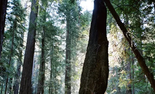
Trimble is working with the University of British Columbia (UBC) to establish a state-of-the-art Trimble Technology Lab at UBC’s Forest Sciences Center. UBC is a global center for teaching, learning and research, consistently ranked among the top 20 public universities in the world. The new lab at UBC will be the first forestry-focused lab for ...
insidegnss.com

Northstar Signe Un Partenariat Avec Une Entreprise Japonaise

L’entreprise montréalaise NorthStar Ciel & Terre, a annoncé mercredi avoir signé une entente avec l’entreprise japonaise Axelspace, dans le but de fournir les tout premiers services de suivi d’objets spatiaux (SSA) combinés sol/espace. Les services de surveillance par satellites proposés par NorthStar permettent notamment à ces clients d’éviter les collisions dans l’espace. «Le développement durable ...
journaldequebec.com
Into Orbit! Dal‑built Satellite Launched From International Space Station

Into Orbit! Dal‑built Satellite Launched From International Space Station

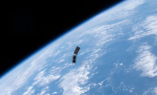
LORIS, a shoebox-sized nanosatellite designed and built by students in the Dalhousie Space Systems Lab over the past several years, was finally released last Thursday (Dec. 29) by NASA after its ascent to the International Space Station late last fall. The student team, led by Engineering Masters student Arad Gharagozli, created the satellite as part ...
dal.ca
Testing Lidar Technology On A Real-world Rail System In Canada

Testing Lidar Technology On A Real-world Rail System In Canada

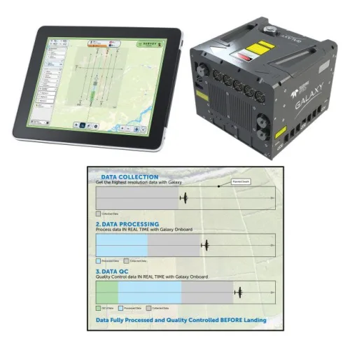
Canadian start-up Lux Modus has tested its Lidar technology as an affordable and easy-to-use 3D data collection platform on a real-world light rail system by participating in the city of Calgary’s Living Labs. A number of years ago, the city’s Living Labs helped Calgary-based Lux Modus successfully test its Lidar technology built for pipeline construction ...
gim-international.com
Understand The Dimensions Of A Flower In Specialized 3D Models

Understand The Dimensions Of A Flower In Specialized 3D Models

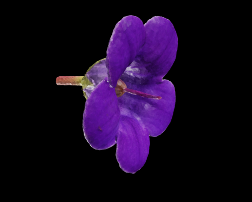
A team in biology from the Universite de Montreal, the Montreal Botanical Garden, and McGill University has successfully used photogrammetry to quickly and accurately build a model of a flower from two-dimensional images and transform it into 3D. This is done in order to have greater clarity about the evolution of flowers. Photogrammetry is much ...
aninews.in

New Device Can Control Light At Unprecedented Speeds

An international group of researchers, led by a team at MIT, has developed a programmable, wireless device that can control light, such as by focusing a beam in a specific direction or manipulating the light’s intensity and doing it orders of magnitude more quickly than commercial devices. Their device, called spatial light modulator, could create ...
techexplorist.com

Presagis Launches Cloud-based VELOCITY 5D Digital Twin Production Platform

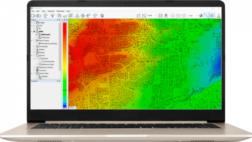
Presagis, a global leader in 3D advanced modelling and simulation software, has officially launched its VELOCITY 5D (V5D) cloud-based platform that quickly and automatically converts massive volumes of 2D geospatial data into high-fidelity 3D digital twins. V5D leverages artificial intelligence and game engine technology to run complex visualization and simulation scenarios that derive context from ...
financialpost.com

Greenbelts Are Effective At Slowing Urban Sprawl

A new paper in the journal Landscape and Urban Planning by two Concordia researchers argues that greenbelts almost always work in curbing sprawl, particularly in larger cities. It looks at 60 cities in Europe, half of them with a greenbelt, half without, and uses open-source data to compare changes in and levels of urban sprawl ...
sciencedaily.com

First-of-its-kind Digital Platform Reveals Migration Data For Birds Across The Western Hemisphere Just In Time For Fall Migration

As millions of birds are flocking to their wintering grounds, the Smithsonian Migratory Bird Center and nine partner organizations announced today the Bird Migration Explorer, a state-of-the-art digital platform that reveals migration data consolidated for 458 bird species found in the United States and Canada. The free, interactive platform, available in English and Spanish, allows ...
nationalzoo.si.edu
VPorts To Create Regional Electric AAM Infrastructure Network In Quebec

VPorts To Create Regional Electric AAM Infrastructure Network In Quebec

VPorts, a Quebec-based world leader in the design, construction and operation of Advanced Air Mobility (AAM) infrastructure, announced today that it will create Quebec’s first regional electric AAM vertiport network. By 2030, the network will extend to all major Quebec regions, providing a sustainable transportation solution via electric vertical take-off and landing (eVTOL) aircraft. To ...
newswire.ca
US-European Satellite Will Make World’s First Global Freshwater Survey

US-European Satellite Will Make World’s First Global Freshwater Survey

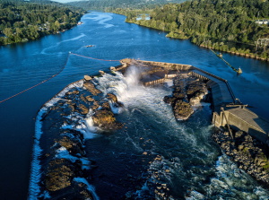
Water is life, but for all its importance, humanity has a surprisingly limited view of Earth’s freshwater bodies. Researchers have reliable water level measurements for only a few thousand lakes around the world, and little to no data on some of the planet’s important river systems. The upcoming Surface Water and Ocean Topography (SWOT) satellite ...
jpl.nasa.gov

Historical Flooding Data Added To FVRD Emergency Map Tool

The Fraser Valley Regional District has updated its emergency map with historic flood markers. The updated FVRD Emergency Status Map was made available this month, just as those living and working near the Fraser River and its tributaries have been keeping a close eye on the spring freshet. It can be used to view important ...
abbynews.com