Geomaticians

Ontario

Ottawa Launches Residential School Map To Help In Search For Missing Children

Ottawa Launches Residential School Map To Help In Search For Missing Children

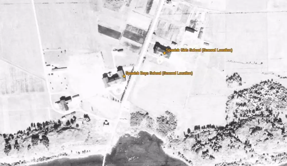
The Canadian government has launched a new interactive online map pinpointing the location of residential schools, and experts say it will help in the search for unmarked or forgotten graves of children forced to go to the institutions. Many residential school buildings have been torn down, paved or built over since the first one opened ...
cbc.ca
Visual AI Takes Flight At Canada’s Largest, Busiest Airport

Visual AI Takes Flight At Canada’s Largest, Busiest Airport

Toronto Pearson International Airport, in Ontario, Canada, is the country’s largest and busiest airport, serving some 50 million passengers each year. To enhance traveler experiences, the airport in June deployed the Zensors AI platform, which uses anonymized footage from existing security cameras to generate spatial data that helps optimize operations in real time. Using anonymized ...
blogs.nvidia.com
City Of Peterborough Online Tool Verifies Official Addresses To Assist Emergency, Postal, Hydro

City Of Peterborough Online Tool Verifies Official Addresses To Assist Emergency, Postal, Hydro

The City of Peterborough has launched an interactive online tool to verify officially recognized addresses in the city. Created by the City of Peterborough’s geomatics/mapping division, the “myAddress Verification,” the tool verifies a property address and also ensures that additional units at a single address are accounted for. The city says official addresses are used ...
globalnews.ca