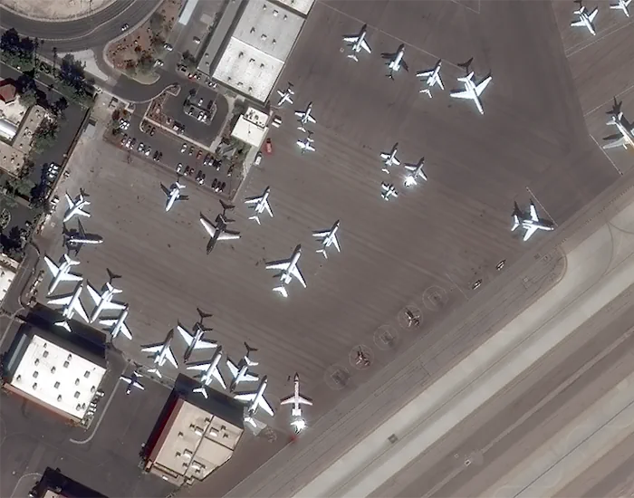
Visual AI Takes Flight At Canada’s Largest, Busiest Airport
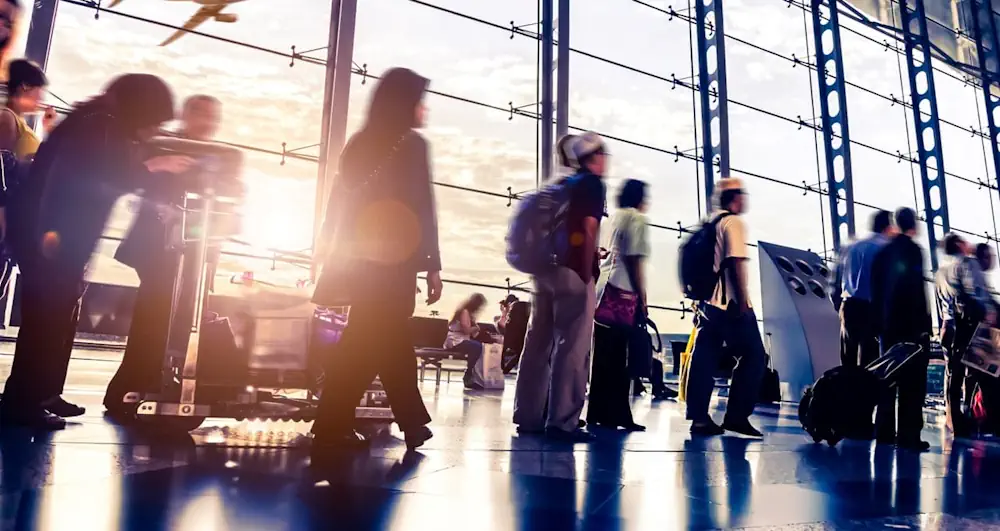
Toronto Pearson International Airport, in Ontario, Canada, is the country’s largest and busiest airport, serving some 50 million passengers each year. To enhance traveler experiences, the airport in June deployed the Zensors AI platform, which uses anonymized footage from existing security cameras to generate spatial data that helps optimize operations in real time. Using anonymized ...
blogs.nvidia.com