![]()
SmartSat CRC Commit To Develop Autonomous Spacecraft
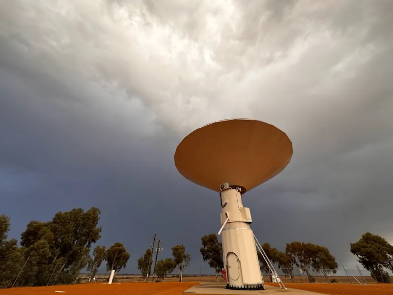
SmartSat Cooperative Research Centre (SmartSat CRC) has launched a $7 million project to develop new autonomous spacecraft using artificial intelligence (AI). The three-year project, Spacecraft Autonomy and Onboard AI for Next Generation Space Systems, SCARLET-α, will bring together eight SmartSat partners. These partners include Airbus, Asension, Deakin University, Defence Science and Technology Group, Leonardo Australia, ...
spacewatch.global