Satellite laser ranging (SLR) is one of the space geodetic techniques that uses lasers to measure the distance between ground stations and satellites with retroreflectors. This precise measurement provides critical data for determining the geocenter motion, terrestrial scale and Earth Rotation Parameters (ERP)—parameters fundamental to the International Terrestrial Reference Frame (ITRF).
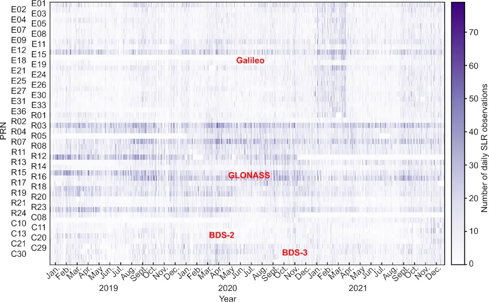
In an innovative study published in Satellite Navigation in May 2024, researchers from Wuhan University realized the estimation of global geodetic parameters using SLR observations to BeiDou, GLONASS and Galileo satellites, the potential of these observations are vital for the future development of Earth science research and navigation systems.
Through a comparative analysis of five different strategies for handling range biases, the study demonstrated that estimating range biases for each satellite-station pair resulted in more accurate and reliable results. This approach effectively absorbed satellite-specific errors, leading to smaller Root Mean Square Errors (RMSE) in post-fit SLR residuals.
The study also analyzed the impact of arc length on the estimation ofERP, geocenter motion, and terrestrial scale. It was found that extending the arc length from one to seven days significantly improved the formal error of ERP, with the seven-day strategy providing the smallest RMSEs for pole coordinates and length-of-day estimates.