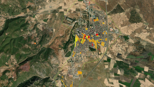
European Space Imaging has acquired high-resolution satellite imagery of affected areas in Turkey using GeoEye-1, including Islahiye, Nurdağı and Bahçe. The images reveal damaged residential areas, temporary tents set up on soccer fields, and heavy congestion on roads and highways, many of which have been closed due to earthquake damage. The United Nations Satellite Centre (UNOSAT) provides a live map displaying geospatial data related to the earthquake in Turkey and Syria. UNOSAT uses geospatial technologies and satellite image analysis during disaster and conflict situations to support humanitarian relief efforts.