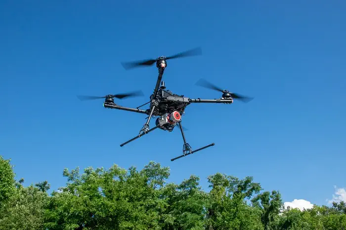
With the release of GeoCue’s three new, high-end TrueView 3D Imaging Systems, surveying and mapping professionals can take their drone-based operations to new levels. The Alabama-based company’s TV625, TV680, and TV680LR offer customers access to a full range of advanced-level systems for collecting LiDAR and photogrammetry. Each system combines a lightweight and compact laser scanner with three cameras for enhanced accuracy and efficiency in geospatial data collection. The TV625, TV680, and TV680LR—all designed and built in the US—are NDAA compliant, which aids not just surveying and mapping professionals, but anyone in construction, infrastructure management, and environmental monitoring who deploys drones in their work.