ESA satnav receiver vans – driving between the busy heart of Rotterdam, quiet countryside, and the Agency’s ESTEC technical centre – have confirmed that Galileo signals now provide a first position fix more rapidly, while also offering improved robustness in challenging environments and streamlined access to time information.
The improvement comes from a new so-called improved ‘I/NAV’ navigation message, first demonstrated on the latest two Galileo satellites launched in December 2021 and entered into service last summer. ESA as Galileo’s System Design Authority has been contributing to the deployment of the improved ‘I/NAV’ navigation message starting from the design phase, the implementation at satellite and ground segment, the qualification of the implementation and the in-orbit testing.
Galileo’s service provider, the European Union Agency for the Space Programme, EUSPA has now upgraded all other Galileo FOC satellites in service so as to broadcast this enhanced navigation message.
This upgraded navigation message does improve Galileo’s time to first position fix by a factor of two or three – depending on whether the receiver is in rural or more challenging urban environments. This is made possible by improving the message’s capability to correct for decoding errors and to recover lost data. At the same time receivers can gain also faster access to the ultra-precise Galileo System Time without having to decode the entire navigation message.
ESA has been using its Galileo Time and Geodetic Validation Facility to check the correctness of the broadcast data and its related performance. Their analysis has shown that all broadcast data are correct. Also, the as-measured performance of the new data is fully aligned to the performance targeted in the design phase.
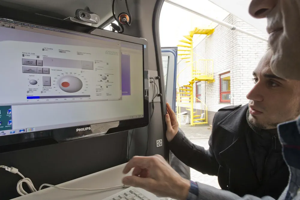
Meanwhile ESA’s Navigation Laboratory, based at ESTEC in Noordwijk, the Netherlands, has deployed its pair of Telecommunications and Navigation Testbed Vehicles in drives across the Dutch countryside to the centre of Rotterdam to confirm the performance improvements available to users in a variety of environments. These testbed vehicles incorporate a variety of satnav receivers plus cameras and sensors to record all details of their surrounding environment. “In order to benefit from the excellent accuracy of the Galileo system, the user has also to retrieve the corresponding navigation message from the Galileo signal even in challenging user environments – so the faster the better.“