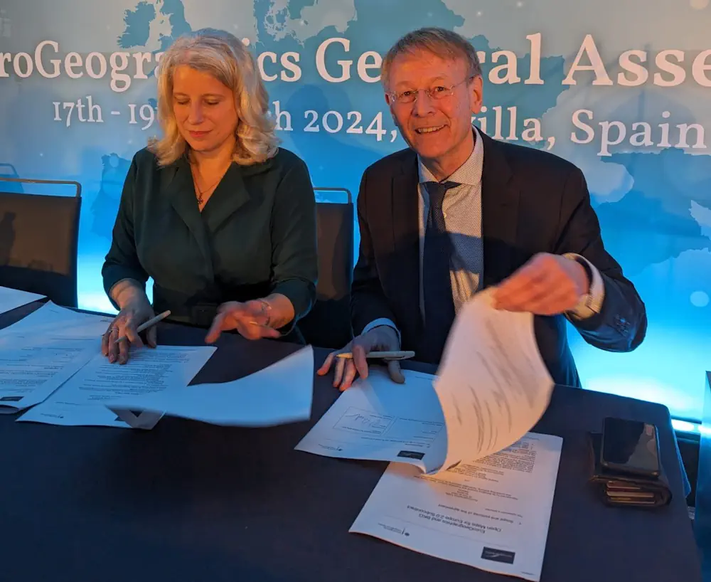
Germany’s Federal Agency for Cartography and Geodesy (BKG) will continue to manage production of pan-European datasets after signing a new agreement with EuroGeographics.
As a result, BKG is responsible for three open datasets available via the Open Maps For Europe (OME) user interface, as well as a database of administrative boundaries and 1:250 000 topographic data. The datasets are created using national geospatial information from members of EuroGeographics, the not-for-profit membership association for Europe’s National Mapping, Cadastral and Land Registration Authorities.
In addition, the National Institute of Geographic and Forest Information (IGN France) continues to manage the production of EuroGlobalMap, 1: 1 million scale multi-themed topographic open data also delivered through the OME portal.
Under the agreement BKG manages the technical, quality and documentation for five datasets:
EuroBoundaryMap, which enables the exact matching of administrative units with statistical data using a European-wide unique identifier, and is widely used within the European system.
EuroRegionalMap, multi-themed topographic data at 1:250 000 scale.
The open data version of EuroRegionalMap.
Open Gazetteer, a service providing authoritative multilingual geographical names.
EuroDEM, 1:100 000 scale digital open data elevation model providing height data.
BKG also provides the OME pan-European Imagery service, a processed mosaic with a 10 metre resolution, created from European Union´s Earth observation programme Copernicus (Sentinel-2, L1C-L2A). It can be used as a reference for mapping and visualization.
BKG also provides the OME pan-European Imagery service, a processed mosaic with a 10 metre resolution, created from European Union´s Earth observation programme Copernicus (Sentinel-2, L1C-L2A). It can be used as a reference for mapping and visualization.