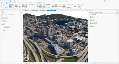
A large, new release of Esri’s desktop GIS software ArcGIS Pro has been released. Version 3.1 includes many new features and tools. Perhaps the biggest new feature is a reality mapping toolbox named ArcGIS Reality for ArcGIS Pro. The extension complements ArcGIS Pro’s ortho mapping capability with high-fidelity 2D and 3D product generation. This new release is one of four photogrammetry software products that together form ArcGIS Reality, a product suite designed to enable reality capture workflows for sites, cities, and countries. The other three are ArcGIS Reality Studio, Site Scan for ArcGIS and ArcGIS Drone2Map.