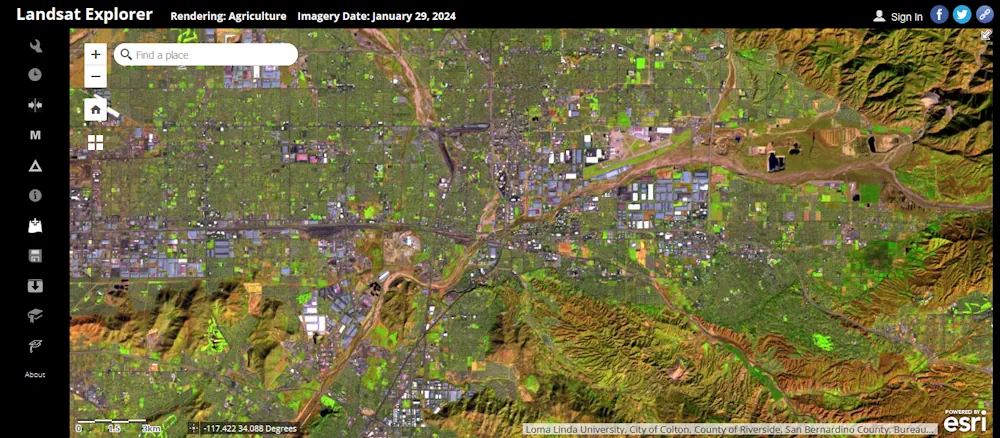
Esri, the global leader in mapping and location intelligence, announces the launch of Landsat Explorer, a groundbreaking online app that makes it easier than ever for organizations to access and analyze multispectral imagery from Landsat satellite missions.
The new app from Esri’s ArcGIS Living Atlas of the World provides unprecedented ease of use and accessibility to Landsat Level-2 multispectral imagery, empowering organizations to make informed decisions about natural resources and the environment. With a deep temporal record, multispectral imagery from the Landsat satellite missions supports a diverse range of land monitoring applications.
The new app enables the discovery and exploration of Landsat imagery that is highly user-friendly and will prove especially valuable to organizations working with remote sensing and earth observation imagery. Jointly managed by the USGS and NASA, Landsat is the longest-running spaceborne land observation program in history. The Landsat program officially began in 1972 with the launch of Landsat 1, and with Landsat 4 in 1982, the program began providing mission-to-mission data continuity. This data continuity is critical for reliable observation and analysis of Earth processes and changes over time.
Available in ArcGIS Living Atlas of the World, the Landsat Level-2 data is a dynamic time series of imagery accessible across the ArcGIS system and used to power the Landsat Explorer web app.
Available in ArcGIS Living Atlas of the World, the Landsat Level-2 data is a dynamic time series of imagery accessible across the ArcGIS system and used to power the Landsat Explorer web app.