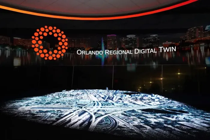
The city of Orlando wants to remind people it has more to offer than theme parks and tourism with a virtual representation of 800 square miles of the city and its surrounding area designed to help establish the region as an emerging tech hub. City officials developed the 3D map in partnership with video game platform Unity as a way to showcase the area for businesses hoping to relocate there. The city’s administration is also exploring using the tech for everything from climate crisis preparedness to plotting the construction of cell towers. The project comes as digital twins, or virtual replicas of physical assets, have become an increasingly popular way for businesses and other organizations to model everything from worker training to engineering simulations.