As non-native plants invade new areas, state officials worry about their effects on local ecosystems, infrastructure and recreation. Japanese knotweed, an invasive plant commonly found in the Northeast along roadsides, wetland areas and waterways, for example, can damage highway and water infrastructure, according to a 2021 report from the U.S. Transportation Department. It can grow up to 8 inches per day and quickly block lines of sight at intersections and stop signs. When the plant’s roots expand, they can weaken the integrity of or even cause fractures in road pavement and concrete on bridges. Stormwater and septic systems are also vulnerable to knotweed damage.
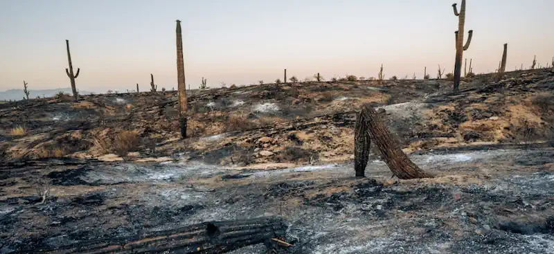
The plant also poses a more general, but equally serious climate threat, said Bethany Bradley, a professor of biogeography and spatial ecology at the Department of Environmental Conservation at the University of Massachusetts Amherst. Where it grows, water permeates the ground at slower rates, leading to drier soil that increases the risk of floods and erosion. With natural disasters projected to increase in coming years as a result of climate change, invasive species like Japanese knotweed could compound those consequences, she said. Flooding isn’t the only negative impact of invasive species. Cheatgrass, another nonnative plant mainly invading the Great Basin region in the western U.S., is notorious for being flammable, worsening the spread of fires. Nevada recently felt the fiery effects of cheatgrass when California’s York Fire crossed state lines, burning more than 80,000 acres last week.
Knowing where invasive species crop up as early as possible can help managers minimize the consequences of noxious vegetation, Bradley said, and understand the relationship between climate change and the spread of nonnative species. “You can translate that [data] back onto a map of what the future climate conditions are likely to be, and that can give you a sense of [invasive species] risk right now, and what risk looks like 20 years, 50 years [or] 100 years, which, from a management perspective, can help with advanced planning,” she said. In the West, for example, Utah is battling an invasive reed called phragmite that has taken over the Utah Lake shoreline. Phragmites create a fire-prone landscape and often impede recreation and rescue efforts, requiring land management officials to annually spray affected areas with herbicide to control the phragmite. To better identify where treatment is needed and to track treatment progress, the Utah Division of Forestry, Fire and State Lands, or FFSL, and other state agencies use geographic information systems to map the phragmite landscape.