An exceptionally severe storm swept over Zurich on 13 July 2021 shortly before 2 a.m., with howling squalls, constant lightning and torrential rain that awakened people with a start.
Benedikt Soja, Professor of Space Geodesy, got little sleep that night. “It was one of the most severe storms I’ve ever witnessed. I woke up in the middle of the night and could see the storm raging through the window,” he remembers.
The scale of the storm was evident the next morning—fallen trees on streets and in parks, damaged rooftops and overhead tram lines pulled down in various parts of Zurich. The ground in the vicinity of the Hönggerberg campus was also strewn with branches and even entire trees. “The storm must have passed right over ETH,” says Soja.
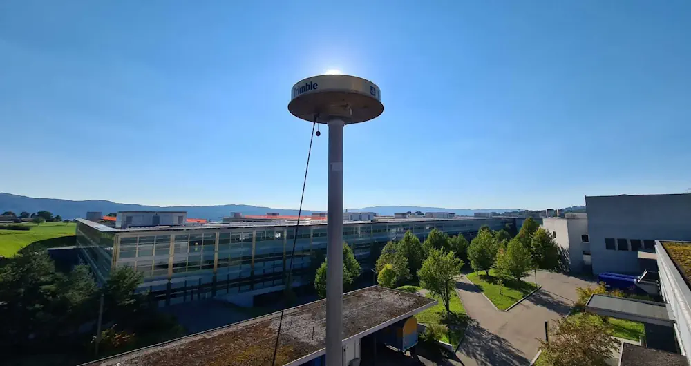
A GPS station on the roof of the Institute of Geodesy and Photogrammetry on the Hönggerberg campus records the signals of various satellite systems around the clock. When examining the data of the night of the storm in more detail, Soja and his colleagues at the Institute couldn’t believe their eyes.
“There were outages in the GPS data processing. We couldn’t understand at first what had caused them,” says Matthias Aichinger-Rosenberger, a former postdoc in Soja’s group and now a lecturer at ETH Zurich. When other stations also reported outages in the measurement of data from GPS and other satellite navigation systems for that night, the researchers started to analyze the raw data of the antenna on the Hönggerberg campus.
They were able to show in a study, published in the journal Geophysical Research Letters, that extreme weather events influence the quality of GPS signals and that these signals are therefore also suitable for detecting storms. It could one day even be possible to use them for the early detection and forecasting of thunderstorms.
The scientists drew their conclusions from the analysis of the data of the storm of 13 July and of another storm in the summer of 2021. It became evident that the extreme weather events had an impact on the signal-to-noise ratio, which indicates how strong the satellite signals are that reach us on Earth. The higher the ratio, the better the quality of the signal.
“The signal strength that we measure with our antenna on the roof normally only changes minimally,” says Aichinger-Rosenberger. However, this was not the case on the two storm days: “The signal-to-noise ratio in the GPS data dropped considerably at the time of the storm. We saw that once the storm had moved on, it was back in its normal range.”
In order to determine the precise time of the storm’s arrival and to check whether this matched the time when the signal-to-noise ratio dropped, the researchers compared their data with radar data of the University of Berne.
“This confirmed our suspicion that there was a direct connection,” said Aichinger-Rosenberger.
These findings could open up new prospects for the use of satellite navigation data in meteorology.
“We now wish to collect more measurements in order to improve the forecasting of precipitation in weather models,” says Soja. Reliable precipitation forecasting still remains a major challenge. “Many other meteorological parameters such as the temperature can now be predetermined quite well with numerical weather models. Unfortunately, however, such models are often not good enough in the case of precipitation.”