Geomaticians

25

Breaking Through City Walls Advanced Navigation System For Urban Vehicles Unveiled

Breaking Through City Walls: Advanced Navigation System For Urban Vehicles Unveiled

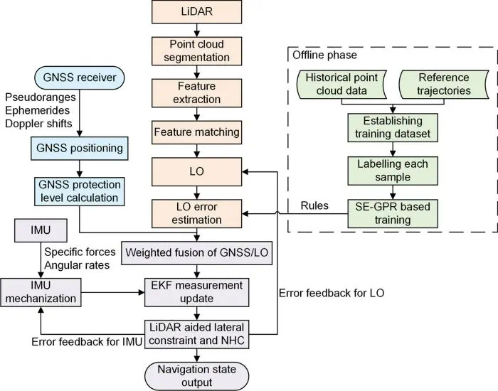
In a significant leap forward for vehicle navigation, researchers have developed an advanced system that integrates Global Navigation Satellite Systems (GNSS), Inertial Measurement Units (IMU), and Light Detection and Ranging (LiDAR) Odometry (LO). This novel approach addresses key challenges in urban navigation, offering a substantial boost in positioning accuracy and reliability, particularly in densely built ...
eurekalert.org
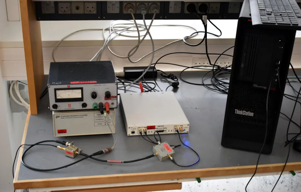
Tailoring Galileo HAS To Danish National Reference Frame

Tailoring Galileo HAS To Danish National Reference Frame

The European Space Agency-funded DANGO project has developed a method for transforming Galileo high-accuracy service (HAS) signals for use in the Danish national reference frame (ETRS89DK). Speaking at the recent final presentation of the DANGO project, DTU (Technical University of Denmark) Space Research Assistant Magdalena Golofit said, “HAS PPP corrections are delivered within the framework ...
insidegnss.com

US Eases Satellite Remote Sensing Export Controls

According to the US Commerce Department’s Bureau of Industry and Security (BIS), the updated space-related export controls will promote the USA’s innovation and technology leadership while protecting its national security and foreign policy interests. The relaxed restrictions also apply to the United Kingdom and Canada. Specifically, the new ruling removes licensing requirements for items involving ...
spatialsource.com.au
UK To Publish ‘Spatial Plan’ To Map Clean Energy Infrastructure And Cut Project Waiting Times

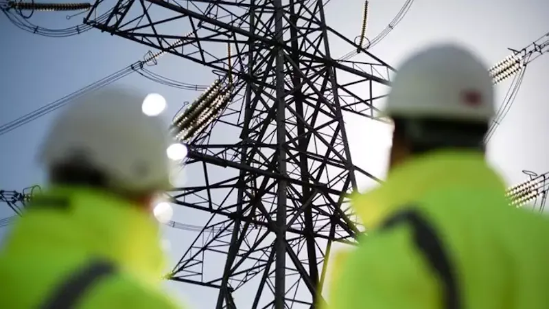
UK To Publish ‘Spatial Plan’ To Map Clean Energy Infrastructure And Cut Project Waiting Times

Last month, the Government announced the establishment of the National Energy System Operator (NESO), a new publicly owned organisation aimed at bolstering energy security, reducing long-term energy costs and advancing the country’s clean power by 2030 agenda. The Nationgal Grid’s Electricity System Operator (ESO) has been transferred into public ownership as part of the new ...
edie.net
Millions In The US May Rely On Groundwater Contaminated With PFAS For Drinking Water Supplies

Millions In The US May Rely On Groundwater Contaminated With PFAS For Drinking Water Supplies

Approximately 71 to 95 million people in the Lower 48 states—more than 20% of the country’s population—may rely on groundwater that contains detectable concentrations of per- and polyfluoroalkyl substances, also known as PFAS, for their drinking water supplies. These findings are according to a U.S Geological Survey study published in the journal Science. The predictive ...
phys.org
New Mapping Techniques Empower Bird Conservation In Colombia

New Mapping Techniques Empower Bird Conservation In Colombia

Natalia Ocampo-Peñuela, assistant professor of environmental studies, and a team of Colombian researchers have introduced a transformative approach to mapping bird species distribution across Colombia, harnessing community science data and innovative modeling techniques. Their latest study, published with open access in the journal Diversity and Distributions, presents high-resolution range and Area of Habitat (AOH) maps ...
news.ucsc.edu
Experts Map Biodiversity Richness On Afro-Descendent Peoples’ Lands

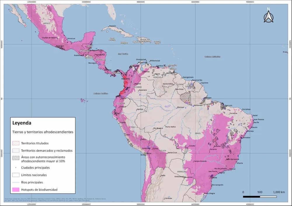
Experts Map Biodiversity Richness On Afro-Descendent Peoples’ Lands

A new atlas by human rights groups assessed tree cover and biodiversity hotspots on lands belonging to Afro-descendant peoples in 15 countries in Latin America and the Caribbean. The Rights and Resources Initiative (RRI), the Black Communities’ Process (PCN), the Universidad Javeriana’s Observatory for Ethnic and Peasant Territories (OTEC) and the National Coordination of Black ...
news.mongabay.com

Tesla, Mobileye, And More Deny Involvement In Illegal Mapping Services In China

Tesla, Mobileye, Alibaba, and Didi have denied speculation that they have been involved in conducting illegal map-making activities after China’s top security agency said it found an incident of spying in which a foreign enterprise used a local company to collect sensitive map data. The unidentified international firm illegally conducted geographic mapping activities in the ...
technode.com
Nature Discovery Map Scotland Making The Outdoors Your Classroom

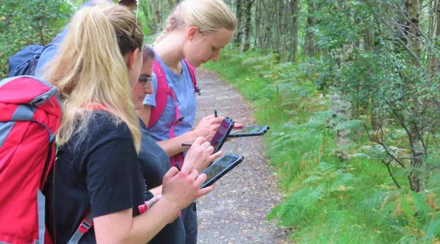
Nature Discovery Map Scotland Making The Outdoors Your Classroom

The Nature Discovery Map Scotland (NDMS) is designed to engage and empower students to maximise their school grounds and improve them for nature and climate resilience. This interactive mapping toolkit has been co-designed with teachers to help support Learning for Sustainability (LfS). This versatile toolkit can be used in many ways and on many levels ...
nature.scot
Boosting India’s Rice Yields A Data-Driven Approach To Sustainable Agriculture

Boosting India’s Rice Yields: A Data-Driven Approach To Sustainable Agriculture

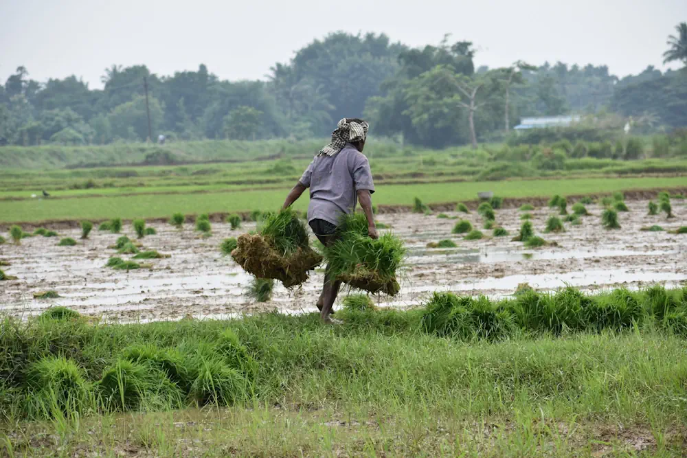
As the world’s largest rice exporter and a crucial player in global food security, India has made impressive strides in agricultural productivity since the Green Revolution. However, a significant gap remains between the rice yields that farmers currently achieve and what they could potentially produce. A recent study published in Nature Communications titled “Context-dependent agricultural ...
irri.org
Satellite Methods Provide Drought Detection From Space

Satellite Methods Provide Drought Detection From Space

Observing sites such as the Amazon basin from space has underscored the capability of satellites to better detect signs of drought, according to a new study. Led by Military University of Technology Poland and Griffith University, the researchers combined two advance satellite-based methods to improve monitoring of hydrological droughts.  Advance satellite-based methods, such as the ...
news.griffith.edu.au
Remote-Sensing Large-Wood Storage Downstream From Reservoirs After Dam Removal

Remote-Sensing Large-Wood Storage Downstream From Reservoirs After Dam Removal

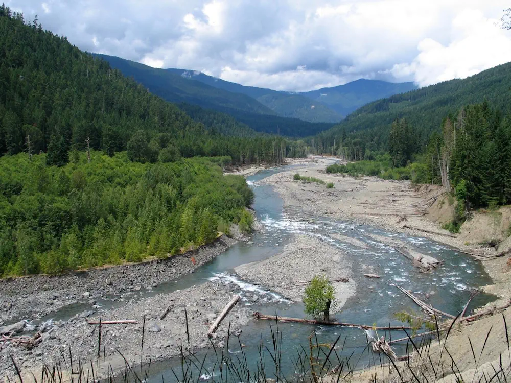
For nearly a century, two dams on the Elwha River blocked the natural flow of sediment and wood, leading to a highly altered river environment. Removal of the dams unleashed large quantities of sediment and wood that had been trapped behind the reservoirs. This debris was carried downstream, reshaping the river’s course and impacting its ...
usgs.gov
Australia And Greece Sign Landmark Space Agreement

Australia And Greece Sign Landmark Space Agreement

A landmark agreement has been signed between Australia and Greece, as both countries look to enhance their work in the field of space. Both nations are new to space technology but are hoping to work together to go further faster and help solve challenges common to both countries. The initial key focus for the companies ...
neoskosmos.com
UPVEHU Submits Algorithm For Mapping Burnt Areas On A Global Scale

UPV/EHU Submits Algorithm For Mapping Burnt Areas On A Global Scale

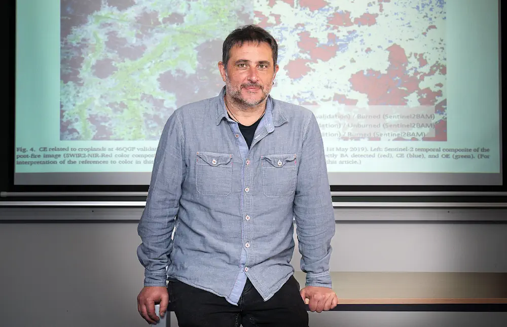
Using data from two satellites that collect optical images, and from another four that measure high temperatures caused by fires, a publication led by Aitor Bastarrika of the UPV/EHU’s Built Heritage Research Group, is proposing an algorithm to achieve the global mapping of burnt areas with a higher resolution. Obtaining accurate, up-to-date information from fire-affected ...
ehu.eus

Arianespace Will Launch The EU’s Copernicus EO Sentinel-1c Satellite

This mission will provide crucial environmental data for the planet, while also carrying out Arianespace’s commitment of guaranteeing Europe’s independent access to space. Sentinel-1C is the 6th Sentinel satellite launched by Arianespace. This VV25 mission will mark the return-to-flight of the Vega C launcher. Arianespace’s next mission is scheduled for Tuesday, December 3rd, 2024, at ...
news.satnews.com
Human Activities Degraded A California-Sized Area Of Tropical Forests In The Last Six Years

Human Activities Degraded A California-Sized Area Of Tropical Forests In The Last Six Years

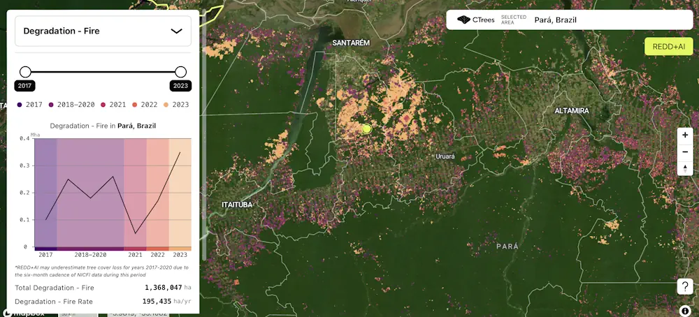
A new data platform from CTrees, REDD+AI, is the first to measure forest degradation from logging, fire, and road construction across all tropical forests. Enabled by artificial intelligence and advanced satellite data, the system detects change in every 5-meter area of tropical forests worldwide. Forest degradation refers to activities that cause loss of trees, carbon, ...
ctrees.org
A Hong Kong University Launched The World’s First Large-Scale AI Model Earth Observation Satellite

A Hong Kong University Launched The World’s First Large-Scale AI Model Earth Observation Satellite

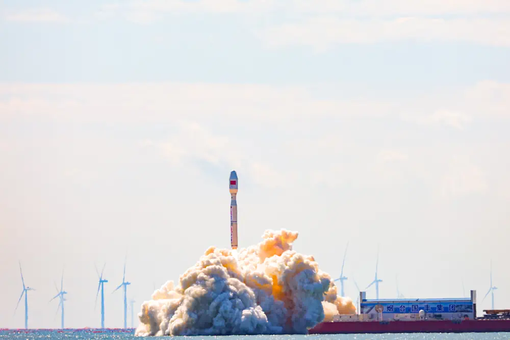
In late September, the Chinese University of Hong Kong (CUHK) launched an artificial intelligence (AI)-equipped Earth observation satellite, named the “Hong Kong Youth Science and Technology Innovation Satellite” (香港青年科創號) with support from the ADA Space, a company that is associated with China’s central government and its military-civilian fusion strategy. This cutting-edge satellite – billed by ...
thediplomat.com