Geomaticians

23

Projeto Utiliza Inteligência Artificial Para Evitar Acidentes Com Animais Em Estradas

Enquanto viajava, quantas vezes você já se deparou com placas de avisos sobre o perigo de animais na estrada? A partir de uma pesquisa que utiliza da Inteligência Artificial (I.A.), esses alertas podem chegar na palma da sua mão, via smartphone, por exemplo. Isso porque, pesquisadores desenvolveram um sistema, baseado na arquitetura Yolo (You Only ...
uesb.br
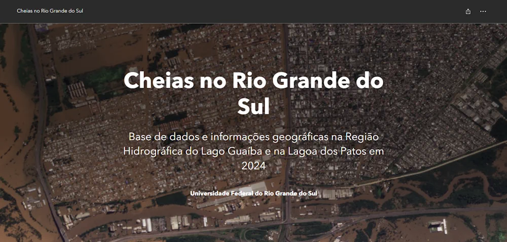
Mapas Da UFRGS Mostram Dimensão Da Enchente No Rio Grande Do Sul

Mapas Da UFRGS Mostram Dimensão Da Enchente No Rio Grande Do Sul

Enquanto o Rio Grande do Sul ainda vive a tragédia da maior enchente da história, uma das contribuições necessárias para entender toda a catástrofe é o uso de informações a partir de mapas e análises técnicas do que está acontecendo. Como forma de contribuição acadêmica, pesquisadores da UFRGS e colaboradores lançaram o “Repositório de informações ...
gaz.com.br
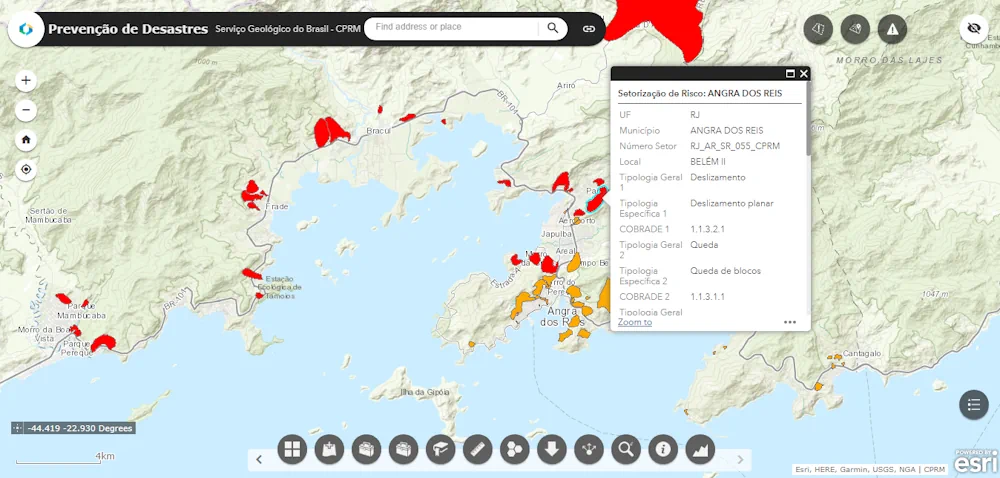
Mapa Interativo Mostra As Regiões Do Brasil Com Risco De Inundação

Mapa Interativo Mostra As Regiões Do Brasil Com Risco De Inundação

A Companhia de Pesquisa de Recursos Minerais (CPRM) lançou um mapa interativo que permite visualizar áreas com risco de desastre no Brasil. Nesse sistema, é possível localizar informações sobre áreas com alto e muito alto risco de deslizamentos de terra, inundações, enxurradas e queda de rochas em mais de 1.600 municípios brasileiros. A plataforma interativa ...
gizmodo.uol.com.br

NASA “Wildfire Digital Twin” Pioneers New AI Models And Streaming Data Techniques For Forecasting Fire And Smoke

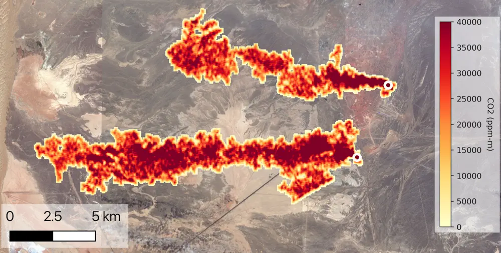
NASA’s “Wildfire Digital Twin” project will equip firefighters and wildfire managers with a superior tool for monitoring wildfires and predicting harmful air pollution events and help researchers observe global wildfire trends more precisely. The tool, developed with funding from NASA’s Earth Science Technology Office and NASA’s FireSense Program, will use artificial intelligence and machine learning ...
science.nasa.gov
Caltech-Led Mission To Map Greenhouse Gas Emissions Named Finalist By NASA

Caltech-Led Mission To Map Greenhouse Gas Emissions Named Finalist By NASA

NASA has selected Carbon-I, a proposal to map carbon dioxide (CO2) and methane (CH4) emissions globally at a higher-than-ever resolution, as a finalist for an upcoming space mission. Carbon-I, which is short for the Carbon Investigation, was among four proposals selected to receive $5 million for a one-year feasibility study. After the feasibility studies are ...
caltech.edu

MSPglobal 2.0 Is Co-Developing A Data Toolbox To Support Countries In Developing Their Own Spatial Data Infrastructure

On the 24th and 25th of April 2024, the MSPglobal 2.0 initiative facilitated an online workshop to consult experts on ocean data and Spatial Data Infrastructure. The project aims to co-develop a Data Toolbox to support countries in developing their own SDI for MSP. About 30 participants from across the globe joined the sessions to ...
ioc.unesco.org

Saudi Arabia Completes First Phase Of Desertification Assessment

The National Center for Vegetation Development and Combating Desertification (NCVC) has completed a significant step in its fight against desertification: the first phase of a project to assess the state of land degradation across the Kingdom, which resulted in the creation of 246 detailed maps. These maps provide valuable insight into desertification trends and the ...
gdnonline.com
IdeaForge Announces Flyght Cloud Platform For Drone Data Analytics

IdeaForge Announces Flyght Cloud Platform For Drone Data Analytics

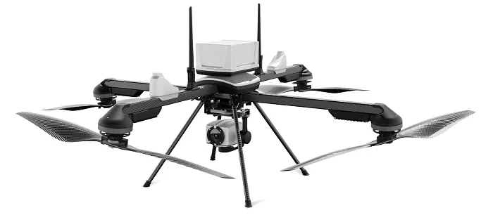
ideaForge Technology Limited, a drone technology company, announced the Beta launch of its groundbreaking Flyght Cloud platform, poised to redefine the landscape of drone data analytics. This innovative platform can eliminate the complexities of multiple vendors, regulations, and inefficient workflows. Operated with a subscription-based pricing model, it provides flexibility and affordability through various workflows tailored ...
geospatialworld.net
New Smart Data Human Mobility Research Project

University of Liverpool researchers have been awarded funding from Smart Data Research UK (SDR UK) for a new project that aims to quantify and adjust existing biases in smart data on human mobility. Called DEBIAS, the project is led by Professor Francisco Rowe, who specialises in population data science with specific expertise in human mobility, ...
news.liverpool.ac.uk

ESA-Funded Project Advances Hybrid GNSS/5G Positioning Technology

The advantage of incorporating 5G within a global positioning solution lies in its extensive coverage and accessibility, especially in urban areas, where GNSS signal quality can be significantly compromised. The NAVISP-funded HYPER-5G project was aimed at studying, designing and developing algorithms and software needed to drive a precise positioning engine that would use both multi-constellation ...
insidegnss.com
China Launches Four High-Resolution Remote Sensing Satellites

China Launches Four High-Resolution Remote Sensing Satellites

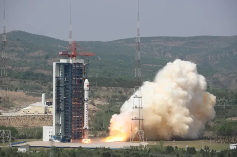
China sent a new set of four Beijing-3 optical remote sensing satellites into orbit late Sunday. A Long March 2D rocket lifted off at 11:06 p.m. Eastern, May 19 (0306 UTC, May 20), from the Taiyuan Satellite Launch Center, north China. The China Aerospace Science and Technology Group (CASC) confirmed launch success within an hour ...
spacenews.com

Advancing 3D Mapping With Tandem Dual-Antenna SAR Interferometry

The new Tandem Dual-Antenna Spaceborne Synthetic Aperture Radar (SAR) Interferometry (TDA-InSAR) system, addresses the limitations of current spaceborne Synthetic Aperture Radar (SAR) systems by providing a more reliable and efficient method for 3D surface mapping. The system’s innovative design allows for single-pass acquisitions, significantly reducing the time required for data collection and enhancing the precision ...
eurekalert.org
Remote Sensing Research Unravels Plant Genetic Diversity And Evolution

Remote Sensing Research Unravels Plant Genetic Diversity And Evolution

A research team has recently published a comprehensive review on the innovative integration of spectral data and phylogeographic patterns to study plant genetic variation. The findings demonstrate the effectiveness of remote sensing technology in identifying and analyzing genetic variations in plants across different geographical regions. This methodology not only deepens our understanding of plant diversity ...
phys.org
Drone And Geospatial Team Becomes First To Map The Coca River In The Amazon Basin

Drone And Geospatial Team Becomes First To Map The Coca River In The Amazon Basin

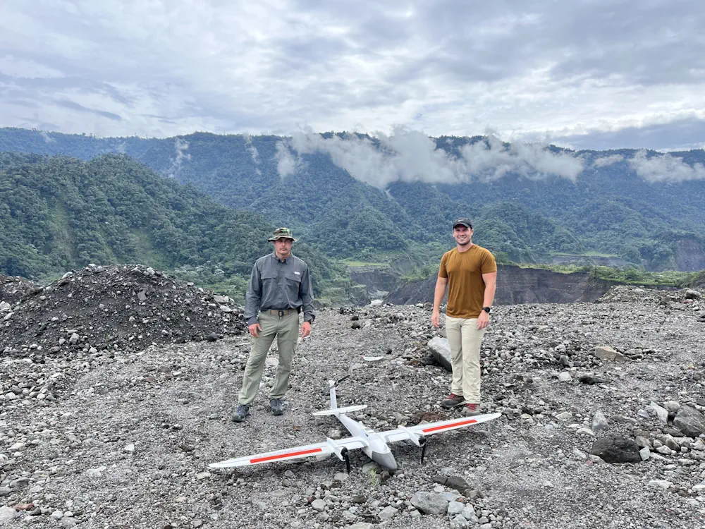
The geology along Ecuador’s Coca River is moving in fast-forward. In a scientific field where natural wonders form over millennia, but natural disasters occur in minutes, speed is less than desirable. Over the last four years, the river and its surrounding area within the Amazon basin have experienced a lava dam collapse, 500 million tons ...
phys.org