Geomaticians

16

Google’s New Astra AI Model Unveiled By DeepMind Team

Google’s New Astra AI Model Unveiled By DeepMind Team

Google DeepMind introduced a new AI assistant model named Astra at their Google I/O developer conference. Astra is designed to be a highly functional AI assistant capable of understanding and responding to complex and dynamic environments. It aims to be proactive, teachable, and personal, allowing for natural and lag-free interactions. This groundbreaking technology is expected ...
geeky-gadgets.com
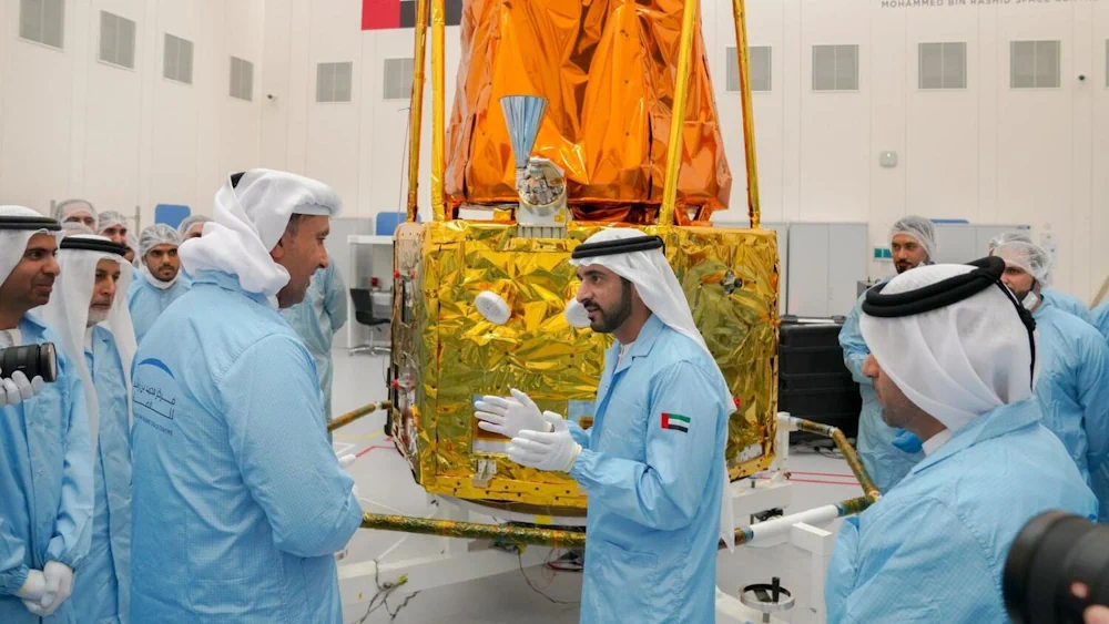
UAE-Made MBZ-SAT Approved For Launch In October

UAE-Made MBZ-SAT Approved For Launch In October

The MBZ-SAT, the most advanced satellite in the region named after the UAE President, has been approved for launch which will take place no earlier than October 2024. The Earth-observation satellite will be launched on a SpaceX rocket further solidifying the UAE’s position in the global space industry. Sheikh Hamdan bin Mohammed, Crown Prince of ...
khaleejtimes.com

Aston University Develops Lidar For Crop Monitoring

A project at the UK’s Aston University has received financial support for its work on enhancing lidar for crop monitoring applications. The award of a Royal Society Industry Fellowship grant worth £174,000 will be used to further develop a polarimetic lidar, funding work underway at the Aston Institute of Photonic Technologies (AIPT) in the lab ...
optics.org

UK Government Tests Quantum-Inertial Navigation Technology In Flight

The UK has successfully tested quantum-based navigation systems in flight. This commercial trial, led by the quantum technology firm Infleqtion, aims to enhance resilience against GPS jamming and spoofing. Although GPS jamming typically does not affect an aircraft’s flight path, Quantum-based Positioning, Navigation, and Timing (PNT) systems aim to provide accurate and resilient navigation, complementing ...
insidegnss.com
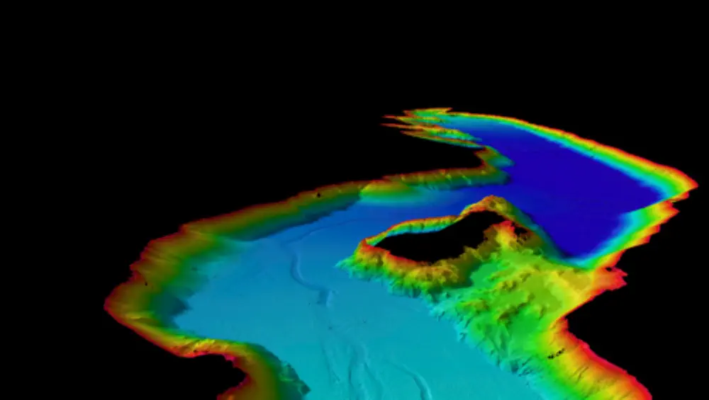
New Wānaka Lake Bed Map To Help Identify Tsunami, Earthquake Risks

New Wānaka Lake Bed Map To Help Identify Tsunami, Earthquake Risks

A new map showing the bed of Lake Wānaka in “incredible detail” will help scientists work out the lake’s potential for earthquakes and tsunami, Niwa says. The work was done after an active fault was found under the lake three years ago. Lake Wānaka is thought to be at risk of a tsunami-like event due ...
stuff.co.nz
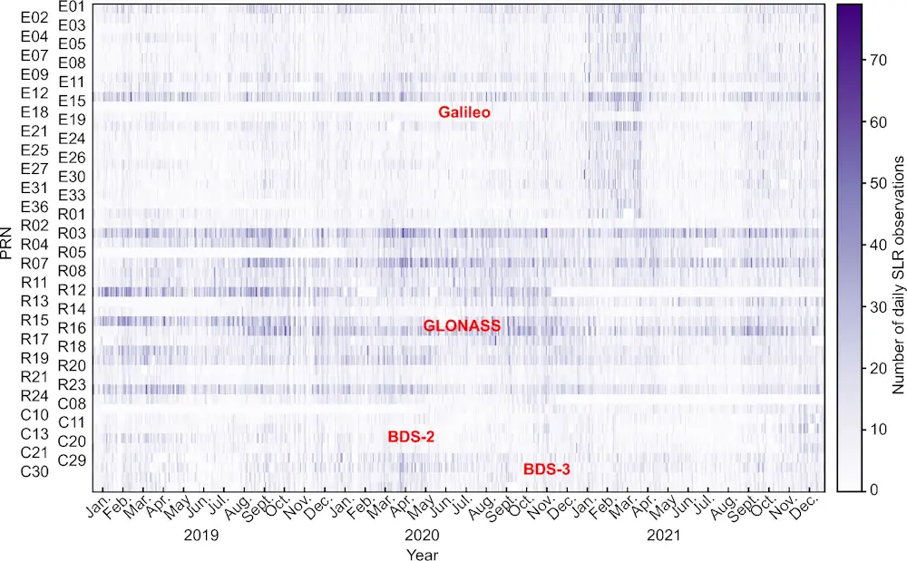
Global Geodetic Parameters Determination Using Satellite Laser Ranging Observations To GNSS Satellites

Global Geodetic Parameters Determination: Using Satellite Laser Ranging Observations To GNSS Satellites

Satellite laser ranging (SLR) is one of the space geodetic techniques that uses lasers to measure the distance between ground stations and satellites with retroreflectors. This precise measurement provides critical data for determining the geocenter motion, terrestrial scale and Earth Rotation Parameters (ERP)—parameters fundamental to the International Terrestrial Reference Frame (ITRF). In an innovative study ...
phys.org

Combining Key Factors To Assess Farming Risks From Climate Change

Climate change stands as one of the most pressing challenges confronting global ecosystems and human livelihoods. The agriculture sector of Anuradhapura district, Sri Lanka, well renowned for its pivotal role in the nation’s food production, faces an increasing threat from the changing climate. A recent study by Millennium City aims to incorporate the indicator system ...
naturalsciencenews.com

Google Maps Is Getting Geospatial AR Content Later This Year

At its annual Google I/O 2024 conference, Google announced that users will soon be able to access geospatial augmented reality (AR) content directly on Google Maps on their phones. The feature will first appear in Singapore and Paris as part of a pilot program launching later this year. Users will be able to access the ...
techcrunch.com