Geomaticians

21

NASA-Led Mission To Map Air Pollution Over Both U.S. Coasts

NASA-Led Mission To Map Air Pollution Over Both U.S. Coasts

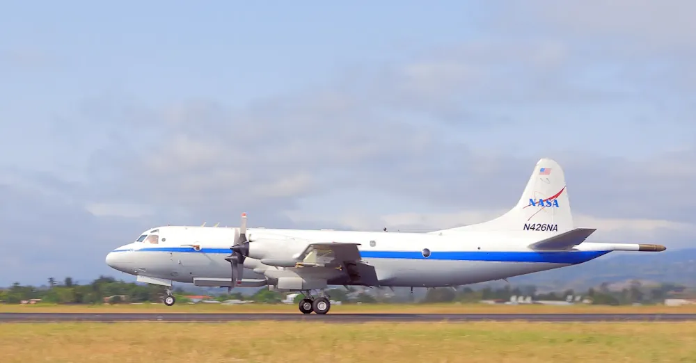
This summer between June 17 and July 2, NASA will fly aircraft over Baltimore, Philadelphia, parts of Virginia, and California to collect data on air pollutants and greenhouse gas emissions. The campaign supports the NASA Student Airborne Research Program for undergraduate interns. The East Coast flights will take place from June 17-26. Researchers and students ...
nasa.gov
Empowering Citizens To Map Air Quality In Overlooked Corners Of The City

Empowering Citizens To Map Air Quality In Overlooked Corners Of The City

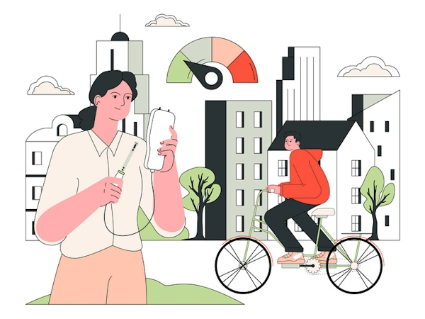
An EU-funded initiative is transforming the way cities tackle air pollution by engaging citizens in the collection of high-resolution data on frequently visited spots – neighbourhoods, schools and lesser-known city pockets often missed by official monitoring. The EU boasts a rich and advanced history in pollution monitoring, offering one of the most advanced and detailed ...
cordis.europa.eu
Madatlas Digital Cartography For Madagascar

Madatlas: Digital Cartography For Madagascar

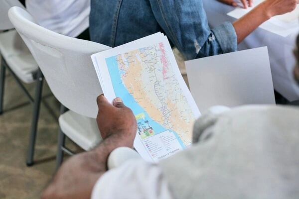
An ambitious project launched in 2021, Madatlas aims to build an LMD training program in digital cartography at the University of Fianarantsoa. With the aim of enabling the Malagasy people to play an active role in the creation of a digital atlas of the island, Madatlas has given rise to training, research and partnerships between ...
univ-gustave-eiffel.fr
Türkiye To Create Digital Maps Of Water Bodies

Türkiye To Create Digital Maps Of Water Bodies

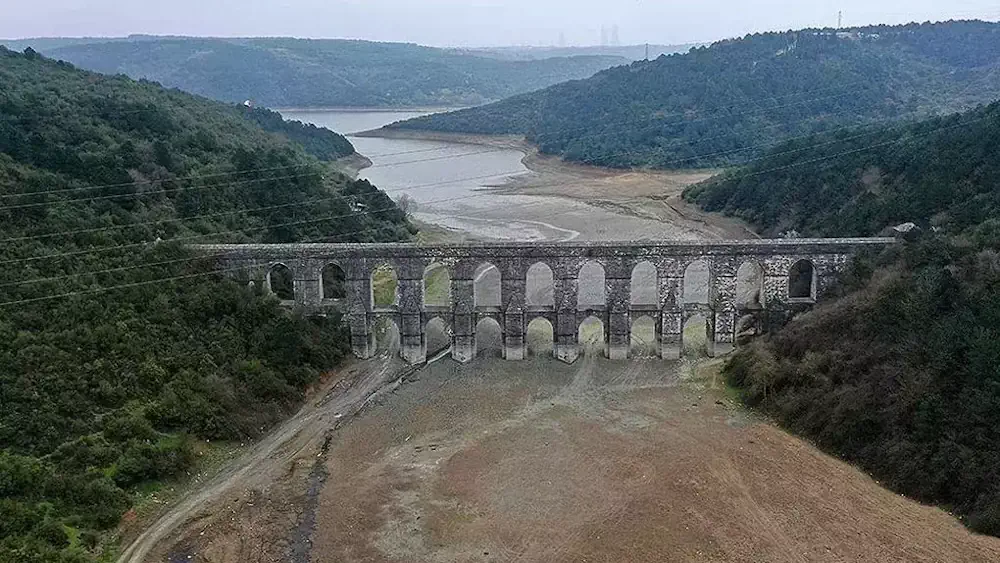
In a bid to better manage Türkiye’s water resources, the Agriculture and Forestry Ministry has initiated a project to create digital atlases mapping a total of 270 stagnant water bodies, including dams and artificial ponds currently being constructed. These water resources will be digitized in a geographic information system (GIS) center. “Drinking water basin and ...
hurriyetdailynews.com
New GIS Tool Offers Maps Of Safest Bike Routes, City Capital Improvement Projects, More In Menlo Park

New GIS Tool Offers Maps Of Safest Bike Routes, City Capital Improvement Projects, More In Menlo Park

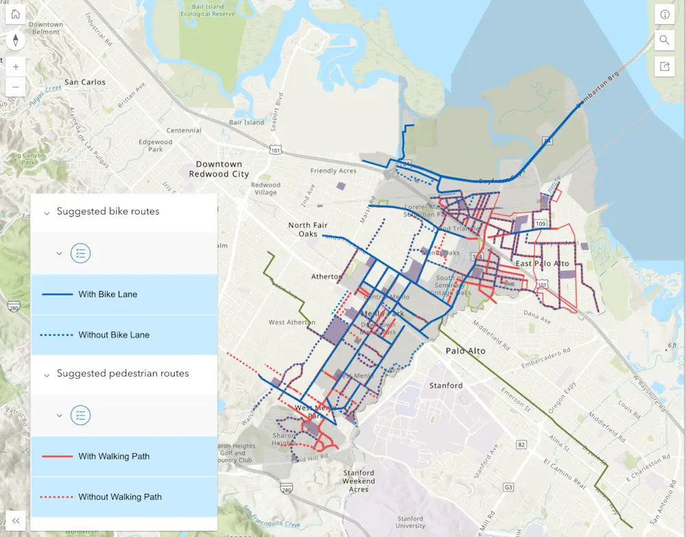
Have you ever wondered who provides your sewer services, when your street is scheduled to be swept, what average daily traffic volumes are on streets near you or when the sidewalk in front of your house was last replaced? Menlo Park residents can now find the answer to these questions and more on Menlo Park’s ...
almanacnews.com
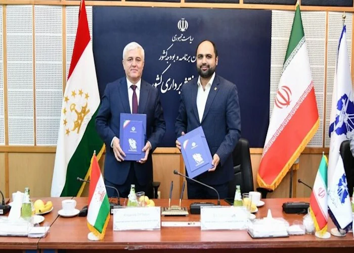
Iran, Tajikistan Sign MoU To Boost Coop. In Geomatic Sciences

Iran, Tajikistan Sign MoU To Boost Coop. In Geomatic Sciences

The director general of the National Cartographic Center of Iran (NCC) Ali Javidaneh and the chairman of the State Committee for Land Management and Geodesy of Tajikistan inked a memorandum of understanding (MoU) in Tehran aimed at developing cooperation in the field of the geomatic sciences. Javidaneh said the MoU is a turning point in ...
en.mehrnews.com
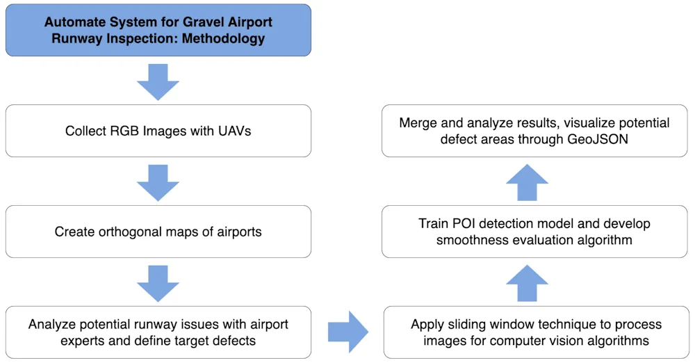
Using Drones Will Advance The Inspection Of Remote Runways In Canada And Beyond, Research Suggests

Using Drones Will Advance The Inspection Of Remote Runways In Canada And Beyond, Research Suggests

With weather, limited flights and long distances, gravel runways at remote airports—particularly in northern Canada—are difficult to get to, let alone to inspect for safety. So Northeastern University researcher Michal Aibin and his team have developed a more thorough, safer and faster way to inspect such runways using drones, computer vision and artificial intelligence. The ...
techxplore.com
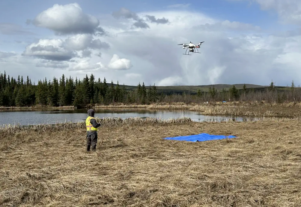
School Of Geosciences Professor Leads Permafrost Thaw Study

School Of Geosciences Professor Leads Permafrost Thaw Study

A research initiative, funded by NASA and the Army Corps of Engineers, is underway to study permafrost thaw in Alaska and its significant impacts on the environment. This project aims to understand the landforms created by thawing permafrost, how it affects methane emissions and whether the rate of permafrost thaw is accelerating. Leading this research ...
usf.edu
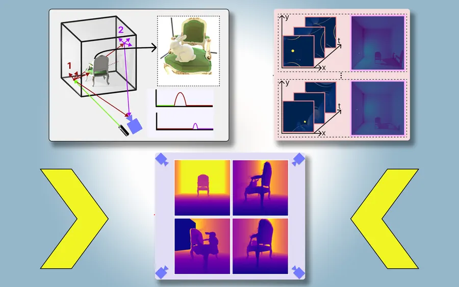
Researchers Leverage Shadows To Model 3D Scenes, Including Objects Blocked From View

Researchers Leverage Shadows To Model 3D Scenes, Including Objects Blocked From View

Imagine driving through a tunnel in an autonomous vehicle, but unbeknownst to you, a crash has stopped traffic up ahead. Normally, you’d need to rely on the car in front of you to know you should start braking. But what if your vehicle could see around the car ahead and apply the brakes even sooner? ...
news.mit.edu