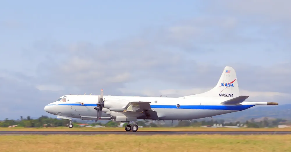
NASA-Led Mission To Map Air Pollution Over Both U.S. Coasts
This summer between June 17 and July 2, NASA will fly aircraft over Baltimore, Philadelphia, parts of Virginia, and California to collect data on air pollutants and greenhouse gas emissions. The campaign supports the NASA Student Airborne Research Program for undergraduate interns. The East Coast flights will take place from June 17-26. Researchers and students ...
nasa.gov