Geomaticians

20

This ‘Digital Twin’ Of The Planet Could Rival Google Earth

This ‘Digital Twin’ Of The Planet Could Rival Google Earth

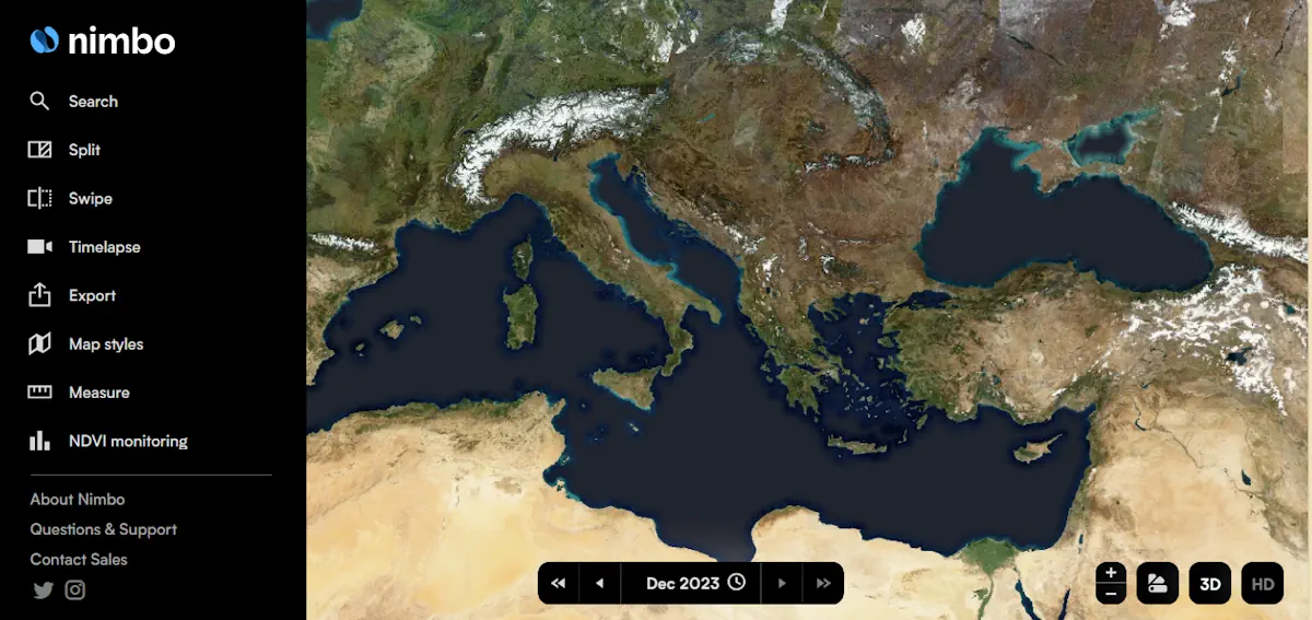
French startup Kermap has developed a ‘digital twin’ of the Earth that claims to offer the most up-to-date views of our home planet. The programme is called Nimbo Earth Online and it is the only platform providing new satellite views of the world every month, without clouds. Google Earth refreshes its imagery every several months ...
thenextweb.com
Novel Frequency-Adaptive Methods Enhance Remote Sensing Image Processing

Novel Frequency-Adaptive Methods Enhance Remote Sensing Image Processing

Researchers led by Prof. Xie Chengjun and Associate Prof. Zhang Jie at the Hefei Institutes of Physical Science of the Chinese Academy of Sciences have developed a novel deep learning-based method for satellite imagery. Their method, called the Frequency-Adaptive Mixture of Experts Network (FAME-Net), has been accepted for publication in the 2024 Proceedings of the ...
techxplore.com

با تائید سازمان بین المللی هیدروگرافی ایران مسئول تهیه نقشه‌های جدید دریانوردی در منطقه خلیج فارس شد

عضو هیات عامل و معاون امور دریایی سازمان بنادر و دریانوردی گفت: با اعلام کمیسیون هیدروگرافی منطقه دریایی راپمی و (IHO)، جمهوری اسلامی ایران به عنوان مسئول هماهنگ کننده تهیه داده های مورد نیاز استانداردهای جدید سری S-۱۰۰ در منطقه خلیج فارس، دریای عمان و بخشی از اقیانوس هند انتخاب شد بر اساس نقشه راه ...
news.mrud.ir

Danish Geodata Agency And EOMAP Unite To Map Denmark’s Shallows

Through the collaborative implementation of satellite-derived bathymetry (SDB), the Danish Geodata Agency and EOMAP are synergizing efforts to contribute to the European Marine Observation and Data Network (EMODnet) Bathymetry partnership. Their shared goal is to seamlessly integrate SDB data into the Danish Depth Model (DDM). Harnessing cutting-edge satellite technology, this partnership aims to enhance the ...
hydro-international.com
UKHO And XOCEAN Team Up For Uncrewed Seabed Survey

UKHO And XOCEAN Team Up For Uncrewed Seabed Survey

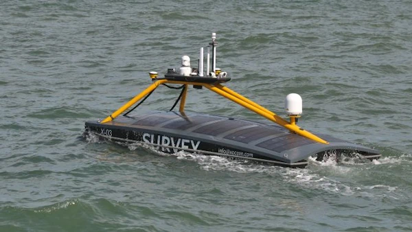
Marine data provider XOCEAN recently deployed five uncrewed surface vessels (USVs) near the Isles of Scilly to collect bathymetric data on behalf of the UK Hydrographic Office (UKHO). The USVs scanned the seabed, identifying features such as depth, habitats, ridges, boulders and shipwrecks. This marked the UKHO’s inaugural use of an external organization for seabed ...
hydro-international.com
Students Analyze How U.S. Could Support Allies During Health Emergencies

Students Analyze How U.S. Could Support Allies During Health Emergencies

What if there were a public health crisis facing a U.S. ally? And what if the U.S. and other governments and international organizations were called on to offer humanitarian support? At Harvard T.H. Chan School of Public Health, three students with decades of experience in fields including data science, population health, and national security tackled ...
hsph.harvard.edu

Belarus To Create National Spatial Data Infrastructure

National spatial data infrastructure will be created in Belarus. The step is stipulated by the Council of Ministers’ resolution No.32 of 16 January 2024, BelTA has learned. The document has been published by the national legislation registry. It approves a regulation on the national spatial data infrastructure. The State Property Committee has been entrusted with ...
eng.belta.by