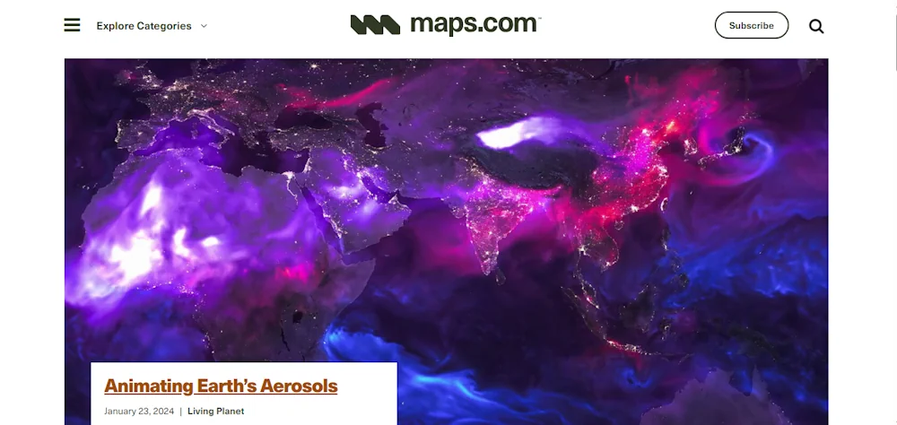
Esri Launches Maps.Com, A Content Platform For Creators Demonstrating The Power Of Maps
Created by Esri, the global leader in mapping and location intelligence software, the new website is a platform for sharing and discussing visually engaging maps that inspire, challenge, educate, reward, and provoke across a range of topics and formats. The site will serve as a celebration of science and art, presenting maps that captivate not ...
businesswire.com