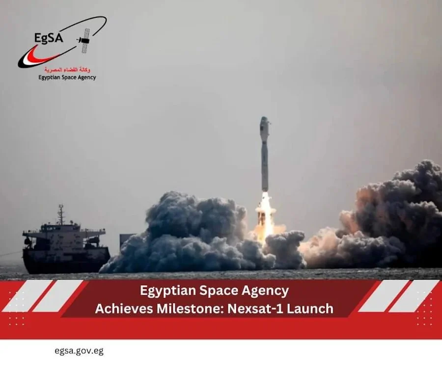
Egypt Launches Nexsat-1 Satellite From China
The Egyptian Space Agency (EgSA) has launched its NexSat-1 satellite into orbit aboard Jielong-3 (Smart Dragon-3), China’s small orbital launch vehicle and has subsequently established communications with the satellite. The microsatellite weighs 67 kilograms, and it features a panchromatic imaging payload with 5.7 meters of ground resolution. EgSA’s CEO, Dr Sherif Sedky, announced the launch ...
spacewatch.global