Geomaticians

28

Spy Satellite Images Offer Insights Into Historical Ecosystem Changes

Spy Satellite Images Offer Insights Into Historical Ecosystem Changes

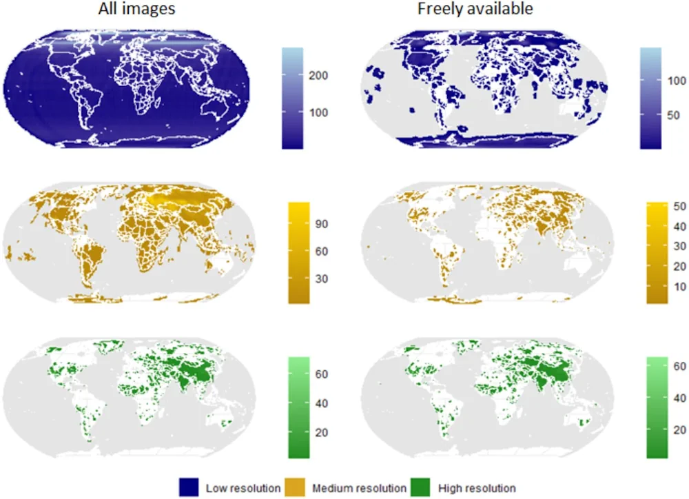
A large number of historical spy-satellite photographs from the Cold War Era were declassified decades ago. This valuable remote sensing data has been utilized by scientists across a wide range of disciplines from archaeology to civil engineering. However, its use in ecology and conservation remains limited. A new study led by Dr. Catalina Munteanu from ...
phys.org
Access Over 181,000 USGS Historical Topographic Maps

Access Over 181,000 USGS Historical Topographic Maps

In collaboration with the US Geological Survey (USGS), we recently updated Esri’s online USGS historical topographic map collection with over 1,745 new maps, bringing the total number of maps in our collection to over 181,000 (181,008 to be exact). We also corrected a number of maps that our users reported as having georeferencing or other ...
esri.com
Instagram Is Working On A ‘Friend Map’ Feature That Would Let You Track Friends’ Locations

Instagram is developing a “Friend Map” feature, a Meta spokesperson confirmed to TechCrunch on Monday. The opt-in feature, which is similar to Snapchat’s Snap Map, would allow users to see their friends’ locations in real time. The company says the feature is an internal prototype and is not being tested externally. The feature was first ...
techcrunch.com
Esri India To Train 100K Students In Geospatial Technology For Free

Esri India To Train 100K Students In Geospatial Technology For Free

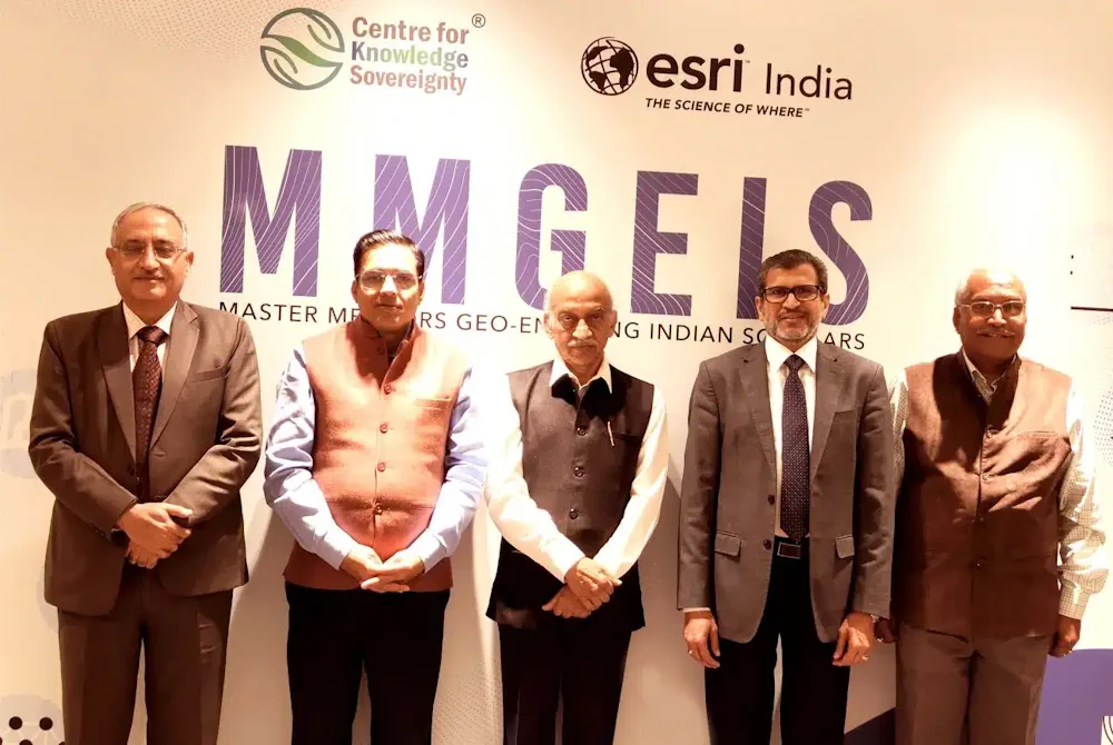
Multinational geographic information system company Esri India and independent public policy think tank Centre for Knowledge Sovereignty (CKS) have unveiled the pilot phase of the Master Mentors Geo-enabling Indian Scholars (MMGEIS) program to train students across the country in geospatial technology. The students will be guided by a team of experienced professionals including A. S. ...
analyticsindiamag.com