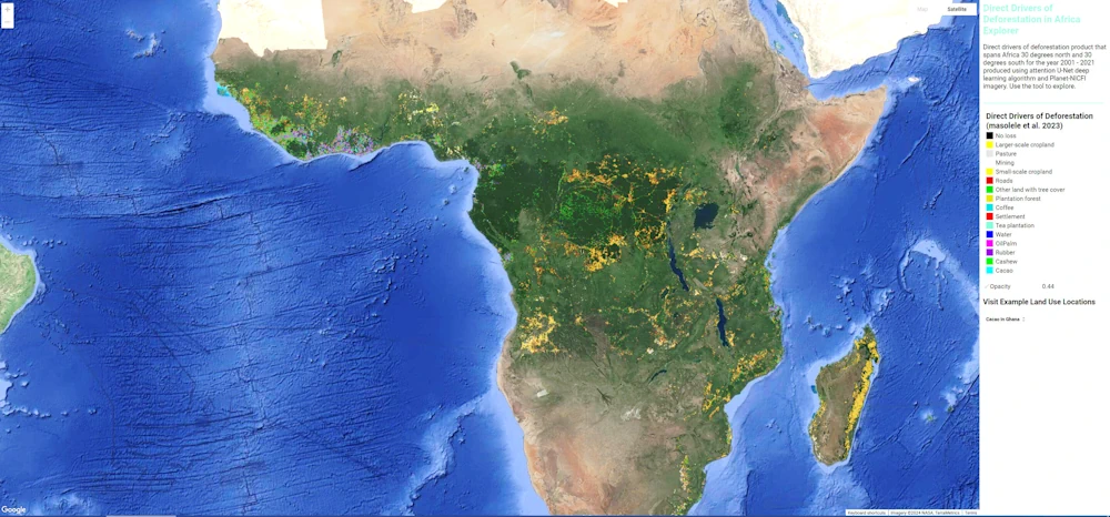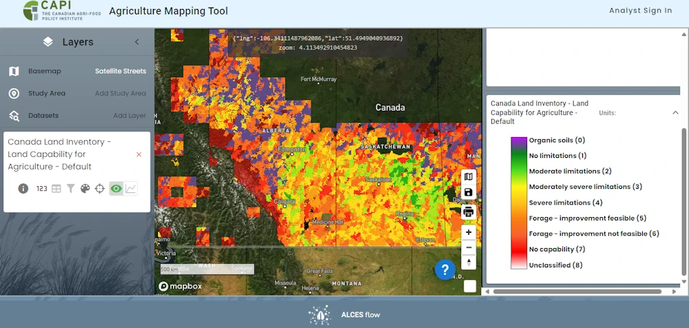
Online Mapping Tool Offers Land Use Information
A new online tool allows users to examine agricultural land use across the country. Developed by ALCES for the Canadian Agri-Food Policy Institute, the Agriculture Web Mapping Application Tool offers maps and datasets about land use, management practices and agri-environmental indicators. Census, crop production and land use data can be viewed individually or overlaid. Tyler ...
producer.com