Geomaticians

09

Forschungsteam Überwacht Kritische Infrastruktur Mittels Navigationssatelliten

Forschungsteam Überwacht Kritische Infrastruktur Mittels Navigationssatelliten

Rein äußerlich haben die vom Verbund betriebene Kölnbreinsperre in Kärnten als höchste Staumauer Österreichs und der DC Tower in Wien als höchstes Gebäude Österreichs nicht viel gemeinsam, für eine Forschungsgruppe rund um Caroline Schönberger und Werner Lienhart vom Institut für Ingenieurgeodäsie und Messsysteme der TU Graz sind sie wissenschaftlich aber gleichermaßen interessant. Denn durch Messungen ...
science.apa.at
España Abre Las Puertas A Bruselas De Sus Archivos Secretos De Imágenes Radar

España Abre Las Puertas A Bruselas De Sus Archivos Secretos De Imágenes Radar

El Ministerio de Defensa español ha abierto las puertas de sus archivos secretos de imágenes radar para también puedan ser explotadas, descifradas y convertidas en inteligencia geoespacial por los expertos analistas de la Unión Europea. La ministra Margarita Robles ha autorizado a su departamento para que conceda luz verde al Centro de Satélites de la ...
atalayar.com
London Underground Is Testing Real-Rime AI Surveillance Tools To Spot Crime

London Underground Is Testing Real-Rime AI Surveillance Tools To Spot Crime

Thousands of people using the London Underground had their movements, behavior, and body language watched by AI surveillance software designed to see if they were committing crimes or were in unsafe situations, new documents obtained by WIRED reveal. The machine learning software was combined with live CCTV footage to detect aggressive behavior, guns or knives ...
wired.com
Municipality Maps Commercial Buildings That Could Have Distressed, Potentially Dangerous Roofs

Municipality Maps Commercial Buildings That Could Have Distressed, Potentially Dangerous Roofs

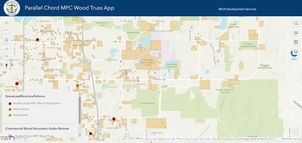
Municipal engineers released a new online resource on Thursday meant for commercial building owners to identify if their building in the Anchorage area contains a roof type that has been blamed for numerous snow-induced collapses. The resource comes as the municipality says the snow load on buildings is approaching 90% of the 40 pounds per ...
alaskasnewssource.com
Major 'Magnetic Anomaly' Discovered Deep Below New Zealand's Lake Rotorua

Major ‘Magnetic Anomaly’ Discovered Deep Below New Zealand’s Lake Rotorua

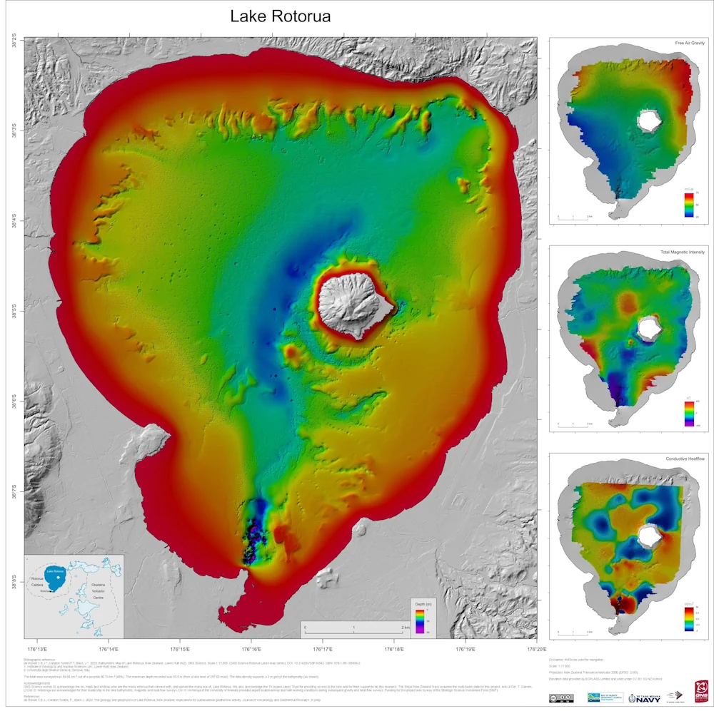
New maps have revealed a hidden hydrothermal system beneath a legendary lake in New Zealand. The Rotorua area is well known for hydrothermal activity, with the Tourism New Zealand website stating that clouds of steam drift around the lake’s shore, and that sulfur gives a “magical green-blue” color to the water. Researchers at GNS Science, ...
livescience.com
Heritage ERS-2 Satellite Set To Reenter Earth’s Atmosphere

Heritage ERS-2 Satellite Set To Reenter Earth’s Atmosphere

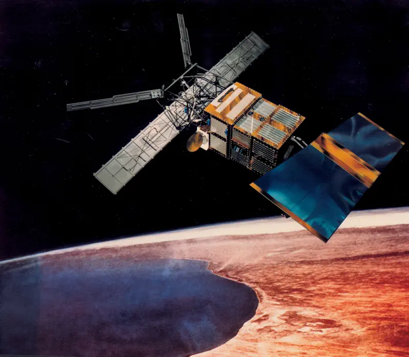
After a 16-year working life, the second European Remote Sensing Satellite (ERS-2) is making its final descent into Earth’s atmosphere. ERS-2 returned information that influenced the perception of climate change and the understanding of the planet. The European Space Agency (ESA) retired ERS-2 in 2011. It was originally launch in 1995. The Space Debris Office ...
satellitetoday.com
Cranfield Researches Radar Drones For Soil Moisture Monitoring

Cranfield Researches Radar Drones For Soil Moisture Monitoring

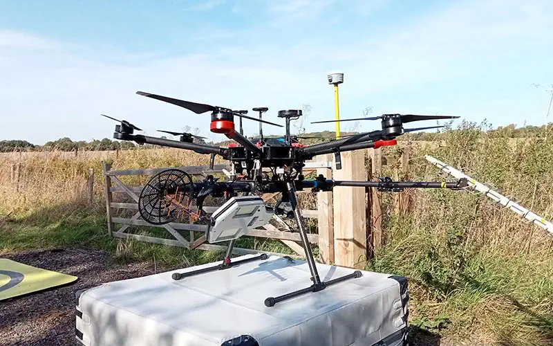
Experts at Cranfield University are leading a two-year project which combines Synthetic Aperture Radar with uncrewed aerial vehicles (UAV), evaluating how radar-equipped drones could simplify soil moisture measurements and revolutionise flood and drought management. The project, led by Dr Dan Evans, will assess the accuracy and potential applications of the innovative technology in soil moisture ...
adsadvance.co.uk
Ginan Version 3 Open-Source Toolkit Released

Ginan Version 3 Open-Source Toolkit Released

Version 3 of Australia’s free Ginan service, an open-source toolkit for determining precise point positioning with centimetre-level accuracy based on GNSS observations, has been released. Version 3 enables users to use Ginan to determine precise orbits for low Earth orbit (LEO) satellites, knowledge which in turn is used to boost the accuracy of positioning measurements ...
spatialsource.com.au

Register Now For GEO Business 2024

Visitor registration is now open for GEO Business, the UK’s largest geospatial event. The free-to-attend expo designed for geospatial professionals who want to unlock the power of location intelligence, returns to ExCeL London on 5-6 June 2024. The highly anticipated 2024 instalment is set to be the best yet, as it returns for its landmark ...
suasnews.com